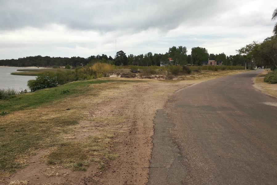
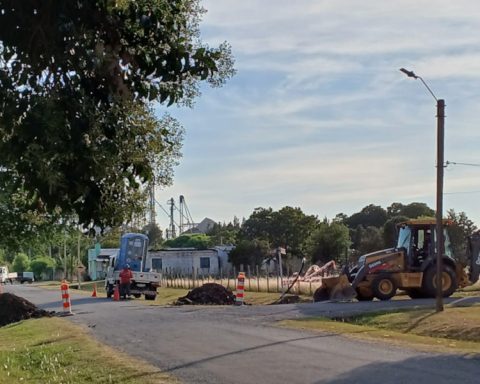
The national authorities, in the case of Dinacea (National Directorate for Quality and Environmental Assessment) will not authorize the construction of a house on the coast of Palmira, Calle D between Calles Gral. Flores and Rondeau, as EL ECO learned.
The permits were managed by the same professional who obtained the authorization for the construction of a house on the corner of Gral. Flores and D, in the coastal strip prohibited for all construction.
On the other hand, a request for information on the possibility of buying, for the purpose of building a house, on San Salvador street between Ibicuy and La Paz entered the session of the Municipality of Nueva Palmira. The municipality responded that the property is within the non-buildable strip, and it should be the Departmental Board that decides.
According to consultations carried out by EL ECO, who must authorize all construction are the National Cadastre and the Dinacea, because the coastal strip is under national jurisdiction.
Release the entire coast of the department
The departmental mayor Gabriel Gabbiani (PC-Citizens), proposes that construction not be allowed from the Arroyo Sauce to the Arroyo Cufré, that is, along the entire coast of the department of Colonia.
Last May, the Departmental Board had proposed “prohibition of building, building, wiring or delimiting in any way, in a strip of 150 meters wide measured towards the interior of the territory from the upper line of the banks of the River of the Plata, in the coastal arc from the eastern urban limit of the city of Juan Lacaze (Charrúa beach) to the mouth of the Rosario River.
Added to this initiative is now “not allowing construction or prohibiting access to the beach along the entire coast of the department of Colonia, from the Arroyo del Sauce, on the border with the department of Soriano, to the Arroyo Cufré, on the border with the department of San José”, as proposed by the departmental mayor Gabriel Gabbiani (PC – Citizens)
The Colorado mayor also proposes that free access be left to “the protection easement zone, understood as the strip of privately owned land adjoining the Maritime-Terrestrial Public Domain (DPMT), measured at a width of 250 meters from the upper bank line. And that “new constructions of any kind are prohibited, as well as the expansion of the surface, height or volume of existing buildings.”


