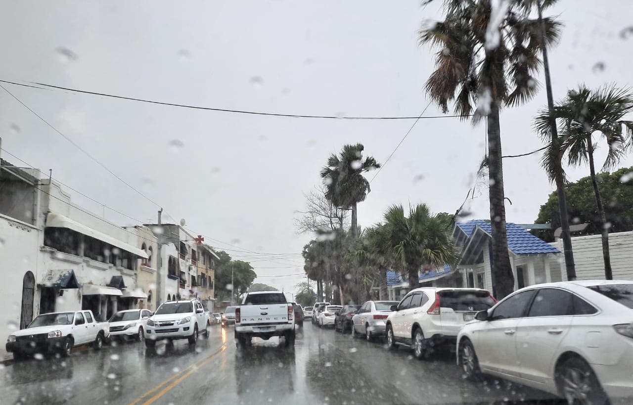
SANTO DOMINGO.- Two troughs will cause cloudy increases this Saturday with scattered showers and isolated thunderstorms over the northeast, southeast (including Greater Santo Domingo), the Central Mountain Range and the border area, increasing notably in the form of downpours, electrical storms and gusts of wind during the late into the early hours of the night, reported the National Meteorological Office.
He said that for Sunday scattered rainfall will persist from dawn and early hours of the day, as a result of the humidity generated by the surface trough, which will be combined with the trough at higher levels, to increase the cloudiness with downpours, storms electrical and gusts of wind, especially during the afternoon with greater intensity and frequency in localities of the northeast, southeast regions (including in Greater Santo Domingo), Central Mountain Range and border area.
Meteorology indicated that it is monitoring an area of showers and electrical storms, associated with a tropical wave located south of the Cape Verde Islands, with a probability of 10% to reach the category of tropical cyclone during the next 48 hours, increasing to 30%. in the next 5 days. He added that they also monitor the evolution of a trough associated with low pressure in the Caribbean, which has a 0% probability, and may increase to 20% in the next 5 days.
The agency specified that temperatures will remain hot due to the time of year, for this reason, they maintain the recommendation to the entire population, to drink enough liquids, wear light clothes, light colors and not be directly exposed to solar radiation in the period. of greater insolation (between 11:00 in the morning and 4:00 in the afternoon).
According to the Meteorology report, in the National District and the Santo Domingo province it will be partly cloudy to cloudy in the afternoon with downpours, electrical storms and gusts of wind.


