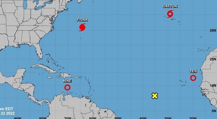
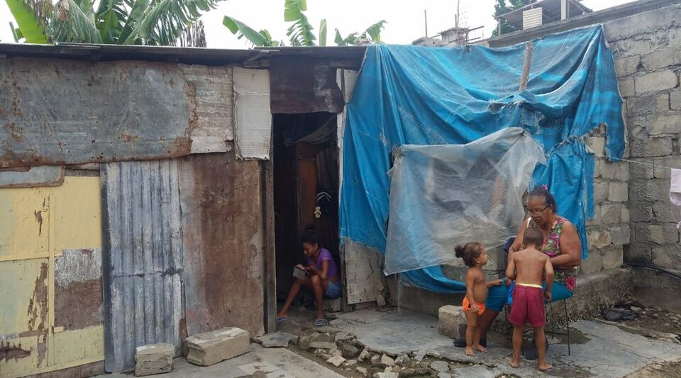
MADRID, Spain.- The National Hurricane Center of the United States (NHC, for its acronym in English) called on the inhabitants of Cuba and Florida to be alert to the advance of tropical depression nine, formed at dawn this Friday in the Caribbean Sea.
“A strengthening is forecast in the coming days, and you must make sure you have your hurricane plan in place,” the entity said through the social network. Twitter.
Here are the 11 AM EDT Sep 23 Key Messages for Tropical Depression Nine. Strengthening is forecast in the coming days, and residents in Cuba and Florida should ensure they have their hurricane plan in place.
For the latest updates: https://t.co/tW4KeGdBFb pic.twitter.com/ofzDMSNpA5— National Hurricane Center (@NHC_Atlantic) September 23, 2022
According to the latest NHC report, the center of the tropical depression was located near latitude 14.2 north, longitude 70.1 west.
It is expected that during the next few hours it will gain in organization and intensity, so it could become Tropical Storm Hermine, and then a hurricane around Monday or Tuesday; reaching category 3 with winds of 115 mph and gusts to 140 mph on Wednesday morning.
Tropical depression nine will bring heavy rain, flooding and possible landslides to Aruba, Bonaire and Curaçao, with heavy rain to Jamaica and the Cayman Islands in the coming days.
According to the NHC, a turn in its trajectory “further to the west, followed by a turn back to the west-northwest and northwest for this weekend” is forecast, which could affect Cuba and South Florida by Monday or Tuesday.
“Jamaica, the Cayman Islands, western Cuba, and the eastern United States Gulf Coast should closely monitor this system,” the National Hurricane Center added.
Just as he warned that the swells associated with the meteorological phenomenon “could cause waves and rip currents that endanger life.”
Receive information from CubaNet on your cell phone through WhatsApp. Send us a message with the word “CUBA” on the phone +525545038831, You can also subscribe to our electronic newsletter by giving click here.


