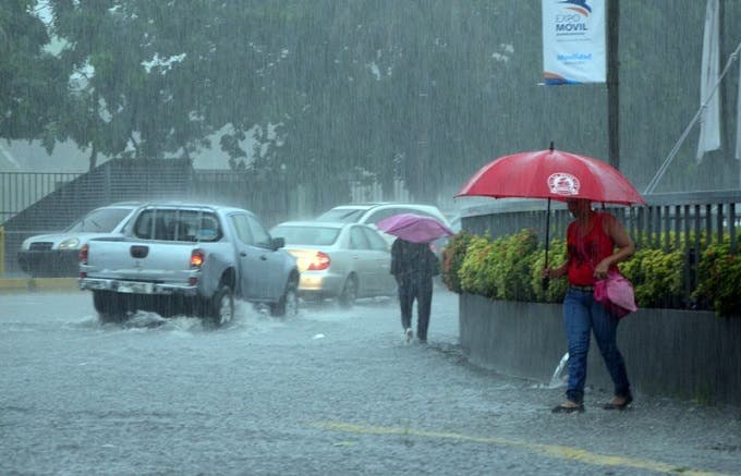
During the night the rainy conditions in Santo Domingo disappear and the sky will remain partially cloudy, but tomorrow around noon the downpours return with electrical storms in much of the national territory produced by a trough, reported the National Meteorological Office (Onamet) .
Santo Domingo will remain partly cloudy with relatively hot temperatures.
During the night the rainy conditions are also reduced in San Pedro de Macorís, La Romana and the province of La Altagracia.
You may be interested in reading: Rains will continue in the next few hours, according to Onamet
But, tomorrow from 11:00 the cloudiness will increase with downpours or showers, thunderstorms and gusts of wind, especially towards places in the northwest, north, northeast, southeast, Central Cordillera and border area, product of the trough that is affecting the forecast area and the indirect effects of an active tropical wave associated with a low circulation (possible tropical disturbance), which is currently located east of the Lesser Antilles.
The Onamet reported that it monitors two tropical disturbances, the first located hundreds of kilometers east of the Lesser Antilles with medium probability (around 50% in 48 hours rising to 70% in 5 days) and the second, northwest of the Cape Islands. Green and low probability (10% in 48 hours), respectively, to become a tropical cyclone.
The hurricane was reported Danielle, category one and it is the first of the current hurricane season, 2022, located about 1,425 km west of the Azores, it has maximum sustained winds of 120 km/h and moves slowly to the east at about 2 km/h, but, due to its position and movement does not offer danger to the country.
At sea, the waves are good both on the coasts of the Atlantic Ocean and the Caribbean Sea, favorable conditions for all vessels to navigate, but as of tomorrow night it will increase slightly on the northeast coast of the country, as reported.


