The cold front arrived in the city of Rio de Janeiro and, according to Alerta Rio, a system that warns of heavy rains and the possibility of landslides on slopes in the municipality, rain cores formed over the municipality. At 6:20 am this Friday (19), the city entered the mobilization stage because of weather conditions.
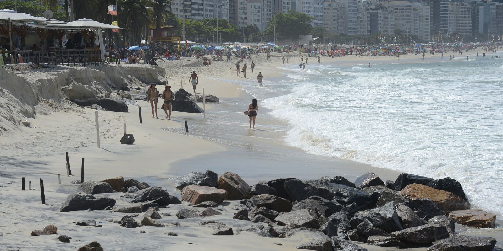
According to the National Institute of Meteorology (Inmet), gusts of strong winds (with intensity between 52 km/h and 76 km/h) were recorded during the morning and afternoon. The wind reached 88.2 km/h at Forte de Copacabana, south of the city, in the morning. The speed is considered very strong by Alerta Rio when winds exceed 76 km/h and can knock down trees and damage homes.
The Rio City Hall Operations Center (COR) explains that there are five levels of operational stages, which serve to signal the severity of events and guide the population on how to act in emergency situations. The levels are normality, mobilization, attention, alert and crisis.
The mobilization stage is second on the scale and means that there is a risk of high impact events in the region. At this stage, there are still no major impacts on the city’s routine, but people need to stay informed. According to the COR, there is a possibility of a stage change due to rain or other factors.
The weather will remain erratic throughout the weekend, with overcast skies and isolated showers forecast at any time.
The Brazilian Navy issued a hangover alert at sea, with waves that can reach up to 3 meters high.
*Intern under the supervision of Vitor Abdala


