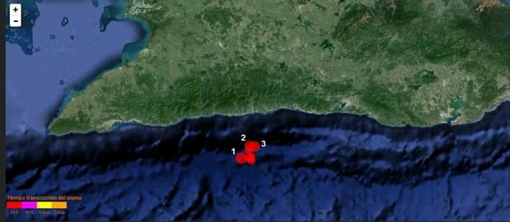
An innovative technology is developed in the eastern province of Santiago de Cuba for its inclusion in the Tsunami Warning System on the Island, in charge of the National Center for Seismological Research (Cenais), Cuban media reported.
Dr. Enrique Arango, deputy technical director of the institution, explained that this equipment, of the technology known as GNSS-R, was donated by the French University of Toulouse, with whose experts the Cuban seismologists maintain close ties of collaboration, points to a report from the agency Latin Press (PL).
The specialist indicated that these relations also include the Institute of Physics of the Globe, in Paris, and the Martinique Volcanological and Seismological Observatory, which favor the application of various advances in these fields of scientific research and application, the newspaper specifies.
GNSS-R takes advantage of satellite navigation signals reflected from water, ice or land surfaces, and from these measurements, fundamental geophysical properties of the reflecting surfaces can be derived, Arango said, quoted by the agency.
The expert gave as examples the altimetric heights, humidity or roughness of the ground, which can be correlated with the speed and direction of the wind over the water in a wide spectrum of applications that include weather forecasting and climate research.
Arango added that with the support of the German-Indonesia Tsunami Early Warning System, these investigations were expanded with the first successful ground-based experiments and studies related to future satellite-based tsunami early warning systems.
According to PLthe specialist pointed out that the installation of this receiver will also contribute with its data to the studies of the dynamics of the crust that Cenais has been carrying out for more than four years through temporary stations with GNSS equipment.
Such measurements are aimed at determining the tensions accumulated in the plate boundary zone that can trigger a strong earthquake and, with the contribution of the new equipment, values of coastal dynamics and their close link with the rise in sea level can be obtained.
The Cenais deputy technical director also highlighted the positive impact of these inquiries on compliance with the Task Lifea State strategy in pursuit of confronting climate change in Cuba, concludes the news release.


