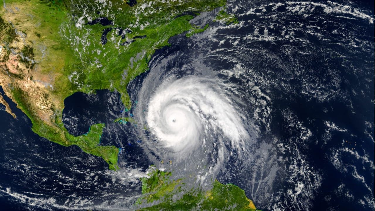
Santo Domingo.- In the period August-September there has been a notable decrease in the formation of tropical cyclones in the Atlantic Ocean, which experts say is due to a decrease in sea temperature.
On Tuesday, the temperature in the Caribbean Sea dropped to 28 degrees Celsius, one point less than the previous day, when 29 degrees was recorded.
Meanwhile, in the Atlantic, temperatures reached 29 degrees, one degree less than on Monday, when the thermometer registered 30 degrees.
You may also like:
The temperature in the Gulf of Mexico also experienced a decrease on Tuesday (28 degrees), compared to the previous date, when it rose to 30° Celsius.
This explains why there has been a decrease in the formation of tropical cyclones during these two months, since these phenomena need heat to develop.
In addition to marine heat, these atmospheric disturbances require favorable winds at altitude for their development.
These two elements have decreased in the August-September period, which has caused a considerable drop, and in the last month only two named storms have been recorded.
We must remember that nine named storms formed in September last year, before the 20th, and in the first three weeks of the same month, two storms have been recorded in 2024.
August and September are the most active months of the hurricane season in the Atlantic and Gulf of Mexico, which runs from June 1 to November 30.
Experts had predicted between 17 and 25 named storms this year, but that forecast appears to be falling short given the factors that have slowed hurricane activity this season.
Only seven named storms have formed from that forecast, of which four have acquired hurricane status (Beryl, Debby, Ernesto and Francine).


