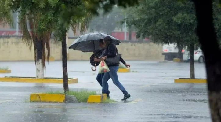
This week’s start will be marked by an unstable atmosphere in much of the country, according to the report of the National Prognosis Center of INDOMETprepared by meteorologists Damaris Mercedes and Heriberto Fabián.
A tropical wave combined with a trough will keep the sky cloudy with downpours, thunderstorms and wind bursts, mainly in the northeast, southeast regions, central mountain range and border area.
For tonight and early Monday, the rains such as Altagracia, Samaná, Duarte, Monte Plata, Santiago, San Pedro de Macorís, Santo Domingo and the National District are expected to continue. Precipitation could be locally strong, which has motivated the issuance of meteorological alerts for six provinces due to the risk of urban or rural floods and floods of rivers and ravines.
During Monday, the moisture dragged by the East wind will continue to favor the showers from early hours, and in the afternoon the rains will intensify in the southeast and the mountainous area of the country. Towards the night, the panorama is expected to remain rainy in several provinces.
Although the rains bring some relief, the heat is maintained. The maximum temperatures will be between 33 ° C and 35 ° C, while the minimums will range between 21 ° C and 24 ° C. Therefore, the population is recommended to hydrate well, wear light colored light clothes and avoid direct exposure to the sun, especially between 11:00 am and 3:00 pm
Likewise, it is expected that between Monday and Tuesday there is presence of Sahara dust, which will cause a grayish sky and possible respiratory discomfort, especially in sensitive people.
You could also read: https://eldia.com.do/ballnas-y-delfines-aliados-del
Conditions for Great Santo Domingo:
Aguimas with thunders from the morning, especially in Santo Domingo Norte, Este and West, as well as in the National District. Wind bursts could also feel during rainy episodes. Caution to vessels on the Caribbean coast is recommended due to possible visibility reductions during the downpours.
INDOMET He urges the population to remain informed through their official bulletins, since alert levels can be modified depending on the evolution of climatic conditions.


