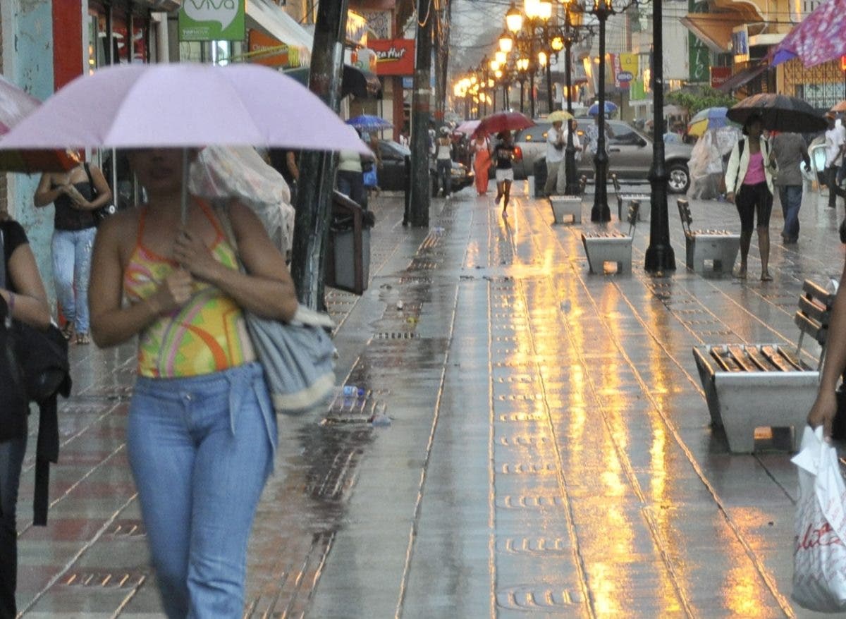
The National Meteorology Office (Onamet) reported today that for tomorrow, Friday, the country will continue to be affected by the high pressure system and the presence of light particles of Saharan dust, which will continue to limit the occurrence of rainy significant in much of the National territory.
However, the Onamet He stated that he does not rule out some local downpours and possible thunderstorms in different locations of the northeast, southeast, Cordillera Central and border regions, mainly in the afternoon due to the combination of the prevailing wind from the east/southeast and the local effects of diurnal and orographic heating.
Read: According to a survey, Margarita Cedeño heads 9 of 14 important electoral provinces
Conditions
National District: Scattered cloudiness. Temporary showers.
North Santo Domingo: Little cloudiness. Little rain.
West Santo Domingo: Scattered clouds.
Santo Domingo East: Clear sky.
Greater Santo Domingo: maximum temperature between 26 °C and 28 °C and minimum between 22 °C and 24 °C.
Tropical Storm Karl
In relation to the tropical storm karlthe country’s meteorological body indicated that it was located approximately 315 kilometers north / north of Coatzacoalcos Mexicowith maximum sustained winds of 75 km/h and moving south/southeast at 11 km/h.
You could read: Edible oils and other items are falling in price, according to authorities
This system currently does not represent a danger to the Dominican Republic.
