THE City of Rio de Janeiro should keep this Tuesday (18) the Third day in a row with temperature above 40 degrees Celsius (ºC). The forecast of the Rio Alert, the City Hall Meteorology System, is 42 ° C for the next few days.
On Monday (17), the Thermometers in the city marked 44 ° Cthe highest temperature since 2014. Last Sunday, the maximum was 40.4 ° C.
With the heat wave, the City reached, at 12:35 pm on Monday, the heat 4 of heatthe second highest on a scale up to 5. This is the first time the river has reached the level, since the creation of levels by the City Hall, in June 2024.
The alert determines a series of recommendations for municipal authorities and guidance for the population to protect themselves from high temperatures.
When the heat level reaches 4
The heat level 4 is reached when there is a very high heat index record, ie from 40 ° C to 44 ° C, with a permanence forecast or increase for at least three days in a row.
According to Rio Alert, the positioning of a high pressure system in the ocean influences the time in the city, causing the forecast of high temperatures to remain until Friday (21).
In heat 4, the City Hall follows a series of procedures, such as indication of existing public equipment, such as cooling points, supply of hydration or distribution stations, and cancellation or resettlement of medium and large events, megaevents in areas external.
Check here the Relationship of cooling points in the city of Rio.
Care
For being a Critical Internshipthe city recommends that the Population adopt the following recommendations:
- Increase the intake of water or natural fruit juices, without added sugar, even without thirsty
- Consume light foods such as fruits and salads
- Wear light and fresh clothes
- Avoid alcoholic beverages with high sugar content
- Avoid direct exposure to the sun, especially from 10am to 4pm
- Find out what are the cooling points in the Rio Operations Center application (Color)
- Physical education classes in the municipal network can only be carried out in covered spaces
- Employees who do professional activities in open areas should be stopped for hydration
- Inquire about heat levels in the city through social networks and websites of the Operations and Resilience Center and the Municipal Health Secretariat
- Use sunscreen, because sun exposure without adequate protection against ultraviolet rays leaves the skin red, sensitive and bubble
- Protect children with tab hat
- In case of malaise, dizziness or other symptoms caused due to thermal stress, look for a municipal health unit
- Find out on the maintenance or change of concert and event schedules in open and unable areas with the organizers of the same
Air humidity
For this Tuesday, the relative humidity may present values between 21% and 30% in the afternoon. Therefore, the city points to other recommendations, such as use of whey in the eye and nose to avoid dryness; Avoid burn garbage and bush; and keep the environments airy.
Understand heat levels:
Heat 1: In this first level, there is no forecast of high heat rates. The city continues with its normal routine
Heat 2: When there is prediction or registration of high heat rates (36 ° C to 40 ° C) for a consecutive days
Heat 3: It happens when there is a record of high heat rates (36 ° C to 40 ° C) with expected permanence or increase for at least three consecutive days
Heat 5 (higher): When there is a record of very high heat indices (40 ° C to 44 ° C) with a permanence forecast or increase for at least three consecutive days
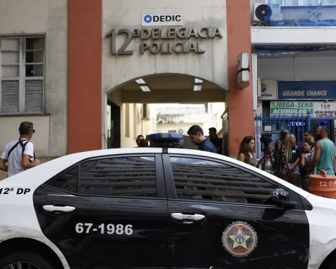
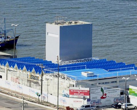
See images of Rio de Janeiro on Monday: