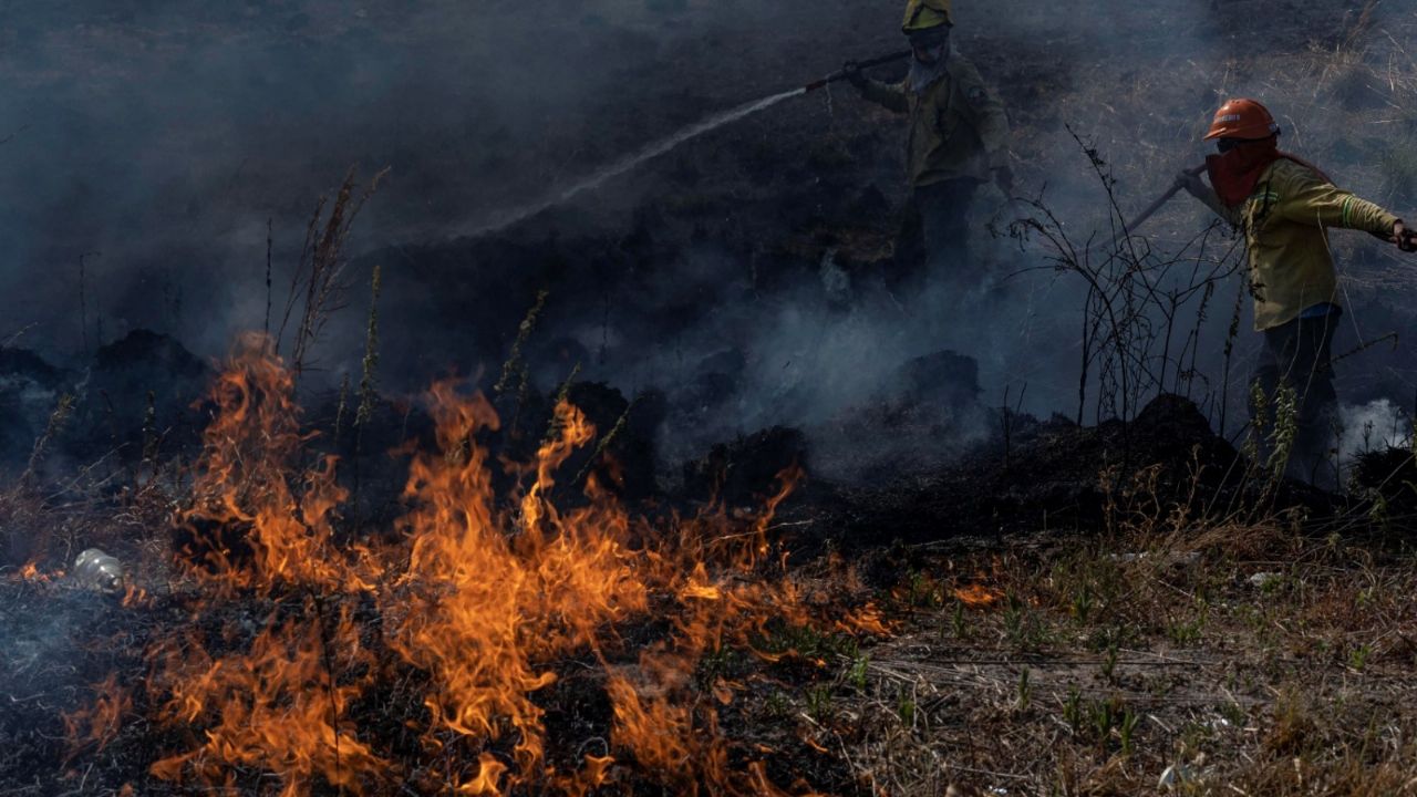
The destruction caused by the fires registered in the province of currents It has accelerated drastically in recent days, according to the (INTA) National Institute of Technology, which regrets that the devastation went from 17,742 hectares per day to 29,585.
The damages in the province They are despite the increase in the number of brigade members and helicopters that collaborate to try to stop the advance of the flames. Total, currents it has lost 785,238 hectares, equivalent to 8.8% of the total area.
The Environment Minister, Juan Cabandié, assured that the rains will reach currents starting next Monday and this will help slow down the progress of the fire, which intensified between February 7 and 16.
Meanwhile, the Department of Ituzaingó, located on the border of the jurisdiction with Misione it became the one that lost the most hectares due to the flames, more than 180 thousand. The second most affected region is San Miguel, followed by Santo Tomé.

30.6% of the area of San Miguel was devastated, followed by 24.8% of Palmar and 23% of Berón de Astrada. These data are obtained thanks to satellite images that provide more precise data for analysis, according to INTA.
What does the satellite report say
The area affected is increasing, it went from 20,000 hectares a day to 30,000 in the last three days. The different types of vegetation had an increase in the burned area, especially the wetlands that accumulate 460 thousand affected hectares.

The Institute of Climate and Water of Castelar provided data on heat sources and revealed that during the first two weeks of February they were greater than all the heat sources registered in January, which reflects the increase in devastated surfaces.
The damages in currents they are billionaires, they are estimated at more than 20 billion pesos and the environmental impact is difficult to quantify due to the loss of biodiversity that will not be recovered in the short term, in addition to the fact that abundant rains are not expected in the short term.


