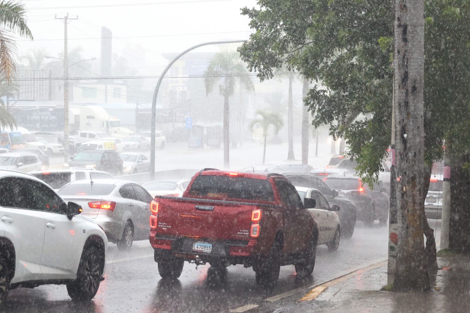
Santo Domingo.- The National Meteorological Office (Onamet) reported this Sunday that a trough located to the north, with a low potential for cyclonic development, and a large area of low pressure in the southwest of the Caribbean Sea, with a high potential to become tropical depression will continue causing downpours in much of the country.
According to Onamet, the rains will be more intense over Greater Santo Domingo, San Pedro de Macorís, San Cristóbal, Puerto Plata, Monte Cristi, Espaillat, among others under the meteorological alert and warning levels.
It is expected that during the afternoon, these precipitations will be more intense, in the form of moderate to heavy downpours and may last until the early hours of the night.
Tomorrow, Monday, both disturbances mentioned above will continue to dominate the weather conditions over the Dominican Republic, therefore moderate to heavy rains will be generated in provinces on the Caribbean coast during the early morning and morning hours, such as in Pedernales, Barahona, Azua, Peravia, San Cristóbal, Greater Santo Domingo, San Pedro de Macorís, La Romana and La Altagracia.
In the afternoon, this activity will extend to Santiago, La Vega, Monseñor Nouel, San José de Ocoa, among others.
CYCLONE INFORMATION
To the southwest of the Caribbean Sea there is an area with 80% probability of cyclonic development in 48 hours and 90% during the next 7 days. This tropical disturbance is likely to form into a tropical depression in the next few days as it moves north/northwest.
· An area of low pressure north of the Dominican Republic has a 10% probability of cyclonic formation in 48 hours and the next 7 days.
· Subtropical storm Patty about 140 kilometers southeast of the Azores Islands, with maximum sustained winds of 85 km/h. This system, due to its position, movement and distance, does not offer danger to the Dominican Republic.
On the Atlantic coast, operators of fragile, small and medium-sized vessels are recommended to remain in port, due to abnormal winds and waves of 7 to 9 feet near the coast, being higher offshore. In low-lying coastal areas of the north coast, you should be alert for possible coastal flooding. On the Caribbean coast the waves are normal.
National District: Increases in cloudiness with weak to moderate rains, being strong at times, isolated thunderstorms and occasional gusts of wind.
Santo Domingo east: Increases in cloudiness with weak to moderate rains, being strong at times, isolated thunderstorms and occasional gusts of wind.
Santo Domingo Norte: Increases in cloudiness with weak to moderate rains, being strong at times, isolated thunderstorms and occasional gusts of wind.
Santo Domingo Oeste: Increases in cloudiness with weak to moderate rains, being strong at times, isolated thunderstorms and occasional gusts of wind.
Minimum temperature between 20 °C and 22 °C and maximum between 28 °C and 30 °C.


