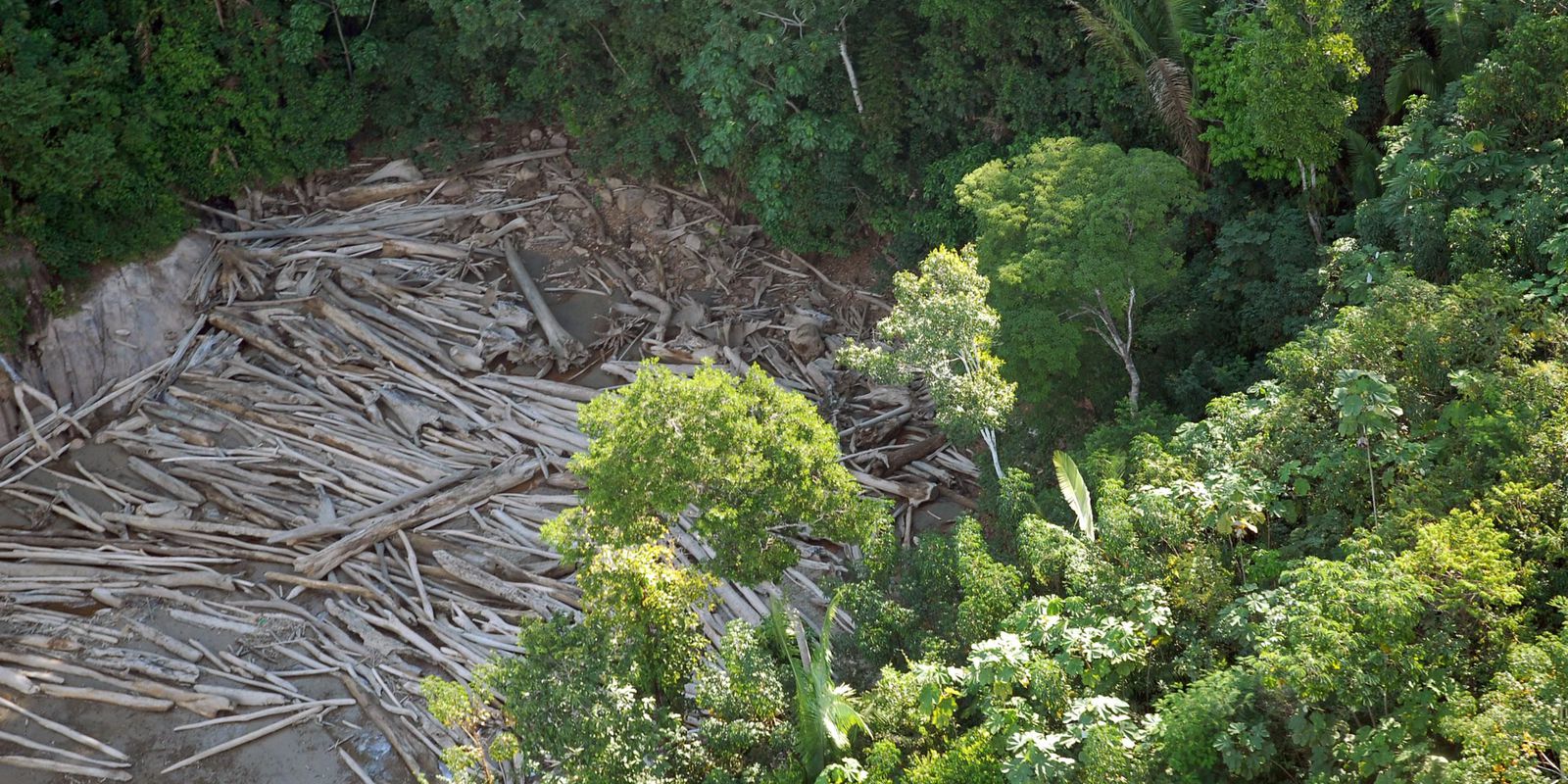
Almost 73% of the areas deforested between 2019 and 2022 show signs of illegality – which corresponds to three out of every four hectares. This is the conclusion obtained from recent data from the Deforestation Inspection Monitor, a platform online from MapBiomas. According to the organization, which unites universities, non-governmental organizations (NGOs) and technology companies, the numbers reveal a high rate of illegality in land use.
“The idea is to understand how much deforestation is legal, because it has authorization from the competent body, how much does not have authorization and, therefore, shows signs of illegality, and how much of this has already been inspected by the competent bodies”, explains Ana Valdiones, coordinator of the platform.
Launched in 2022, the Inspection Monitor currently compiles data from ten federative units: Acre, Amazonas, Ceará, Espírito Santo, Goiás, Mato Grosso, Minas Gerais, Pará, Rondônia and São Paulo. According to the information obtained, 72.6% of the areas deforested in the evaluated period were free of inspection.
“We managed to reach ten states because they were the ones that had this information available on the internet with the quality that allowed us to analyze it”, says Ana Valdiones. The states that presented the most alarming numbers were Acre, Ceará and Rondônia. In Acre, only 146 deforestation alerts had superimposed enforcement actions, out of more than 32,000 alerts validated in the state.
The monitor is based on information provided by federal and state control bodies, such as authorizations, assessments and embargoes on rural properties. To identify how much deforestation has overlapping inspection actions, this data is crossed with the deforestation alerts published by MapBiomas. Each alert is checked, validated and generates a report with high-resolution images of before and after the deforested area. For Ana Valdiones, it is necessary to increase the transparency of the available environmental data. “Our intention is for the monitor to cover all Brazilian states, with the action of all environmental agencies, state and federal, but we are faced with this issue of not always having easy access to quality information”, she clarifies.
The Deforestation Inspection Monitor is an initiative of MapBiomas in partnership with the Instituto Centro de Vida (ICV) and the Brasil.IO platform, which proposes to make public data available in an accessible format for the population. The information compiled by the monitor can be accessed online free. According to Ana Valdiones, the organization hopes to expand monitoring to the entire national territory by the end of 2023.
