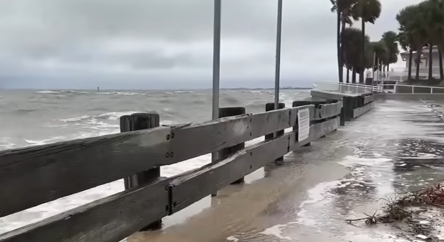
MADRID, Spain.- Thousands of Florida residents have been forced to evacuate as the state braces for Tropical Storm Helene, which is rapidly intensifying and could bring powerful winds, flooding and dangerous storm surge. Helene is on track to make landfall on Florida’s Gulf Coast Thursday night, with the Big Bend region hardest hit.
The storm, which was formed on Tuesdayhas been strengthening rapidly. It is forecast to become a Category 3 hurricane by Thursday, with maximum sustained winds of more than 115 mph (185 km/h). The National Hurricane Center (NHC) has issued hurricane warnings for Florida’s Gulf Coast and Mexico’s Yucatan Peninsula, where storm surges of up to 15 feet (4.5 meters) are possible. The Big Bend area, still recovering from recent hurricanes Debby and Idalia, faces particular risk.
A flood watch has been issued for more than 20 million people from Florida to the southern Appalachians.
Florida Governor Ron DeSantis declared a state of emergency in 41 counties on Monday as a precautionary measure against the possible devastating effects of the system. “We are tracking Potential Tropical Cyclone #9, which will likely strengthen this week as it enters the Gulf of Mexico. I have issued the Executive Order 24-208, “I have declared a state of emergency in 41 Florida counties that could be impacted by the storm, and I have directed state agencies to prepare as necessary,” DeSantis said through your account in X.
DeSantis urged residents in the most vulnerable areas, including the Panhandle, Big Bend and much of the central and eastern Gulf Coast, to complete their preparations by Wednesday night.
Federal agencies have deployed emergency supplies and rescue equipment, and forecasters are urging residents to follow evacuation orders. The NHC has warned that Helene’s impacts will extend far inland, with the risk of flooding in Tennessee and Kentucky.
Rain and storm surge for Cuba
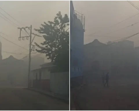
In Cuba, the system will leave heavy and intense rainfall in the western and central regions. The rains will continue through Wednesday morning and are forecast to extend into Thursday.
“From tonight, tropical storm-force winds may begin to be felt in Isla de la Juventud and Pinar del Río, with speeds between 55 and 70 kilometers per hour, which may extend from late Wednesday morning to the province of Artemisa. In the western end of Cuba, the wind force will increase from the early hours of tomorrow,” Cuban meteorologists said the day before.
According to meteorologist Bryam Pérz Valdés, the storm surge could raise water levels between one and 2.5 meters above normal levels along the southern coast of Pinar del Río and Isla de la Juventud.


