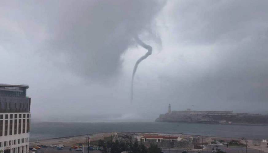
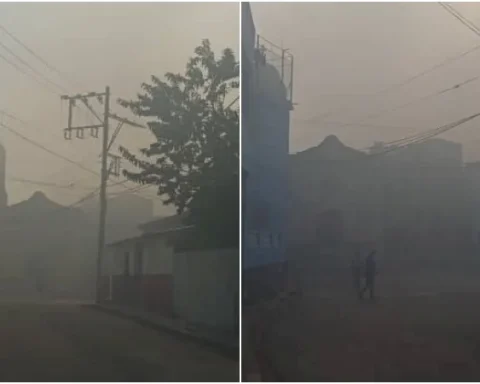
MIAMI, United States. — The Forecast Center of the Cuban Institute of Meteorology (INSMET) reported this Wednesday a “possible waterspout” north of Havana Bay.
The information on the hydrometeorological event was shared by that entity on the social network Twitterwhere there are also images that show the appearance of the phenomenon in the morning hours.
“Possible waterspout this morning north of Havana, with the arrival of the first cold front of the winter season,” said the state agency.
The waterspout occurred after the arrival at the Isla del first cold front of the current winter season, which brought with it rains and a slight drop in temperature.
Meteorology describes a waterspout as a powerful whirlwind of wind that develops over a large surface of water, be it the sea or a lake. In that sense, it shares characteristics similar to those of the tornado, although it is usually smaller and weaker than this one.
It is a common phenomenon in coastal areas of temperate seas during storm episodes, although their small size and short movement almost always prevent them from being a direct threat on land.
On the afternoon of last September 7 a waterspout was spotted over the Avilés Dam in the municipality of Cumanayagua, in the province of Cienfuegos. According to witnesses, the phenomenon could be seen for more than 20 minutes —between approximately 5:25 and 5:50 pm— with very slow movement and great height of the base cloud.
Receive information from CubaNet on your cell phone through WhatsApp. Send us a message with the word “CUBA” on the phone +525545038831, You can also subscribe to our electronic newsletter by giving click here.


