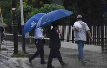
Although the tropical wave will be located today over the western part of Cuba, a trough will generate heavy local showers, thunderstorms and gusts of wind in different provinces of the country.
According to the Dominican Institute of Meteorology (Indomet), rain is expected in localities in the following regions: north, northeast, southeast, the border area and the Central mountain range.
Such as: Monte Plata, San Juan, Elias Pine, San Cristobal, Monsignor Nouel San Jose de Ocoa, San Pedro de Macoris, La Vega, Dajabon, Santo Domingo and the National District.
Indomet reports that this Sunday there will be less humidity and dust particles from the Sahara will limit rainfall events over the national territory.
However, in the afternoon hours of tomorrow, the trough will generate occasional showers and thunderstorms towards the northern, northeastern, eastern slopes, the border area and the Central Mountain Range.
The Emergency Operations Center (COE) yesterday discontinued the green alert level for the provinces of Monte Plata, Hato Mayor, María Trinidad Sánchez, El Seibo, Samaná, Santo Domingo and the National District, because the tropical wave, which was generating intense downpours in the country, has moved away from the Dominican Republic and is now in Cuban territory.


