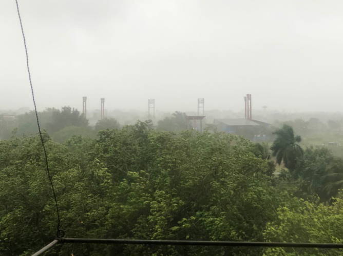
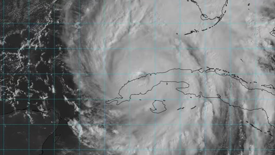
MIAMI, United States. — The center of Hurricane Ian went out to sea this Monday morning in the northern part of the province of Pinar del Río, although the meteor continues to hit the western region of the country with force.
In accordance with information from the United States National Hurricane Center (NHC), at 11 a.m. today, Ian’s eye was located at 23 degrees north latitude and 83.5 degrees west longitude, about 449 kilometers south -southwest of Sarasota (Florida) and 200 kilometers south-southwest of the Dry Tortugas.
Due to its passage over land, the organism lost something in intensity, and now exhibits maximum sustained winds of up to 185 kilometers per hour.
Hurricane Ian is moving north and has slowed down to 17 kilometers per hour.
One of the towns hardest hit by Ian when he left Cuba was the coastal town of Puerto Esperanza (Pinar del Río), completely devastated by the rain and strong winds.
The province of Pinar del Rio was severely affected by the cyclonic organism. In most of the images from that territory, the severe flooding and the destruction generated by the intense winds are visible, which will continue to lash for at least two more hours.
A similar situation is recorded in Artemisa. Users from that territory warned on social networks about the fall of one of the towers of the July 26 stadium, in the provincial capital.

In Havana, the Casa Blanca Station registered wind gusts of over 100 km/h, with a report of 102 km/h at 10:45 am and another of 110 km/h at 11:45 am.
In Matanzas, Ian’s passing is also felt. In the municipality of Unión de Reyes, 69.7mm of rains have been registered in the last 24 hours, the highest accumulated rainfall reported in that province.
Receive information from CubaNet on your cell phone through WhatsApp. Send us a message with the word “CUBA” on the phone +525545038831, You can also subscribe to our electronic newsletter by giving click here.


