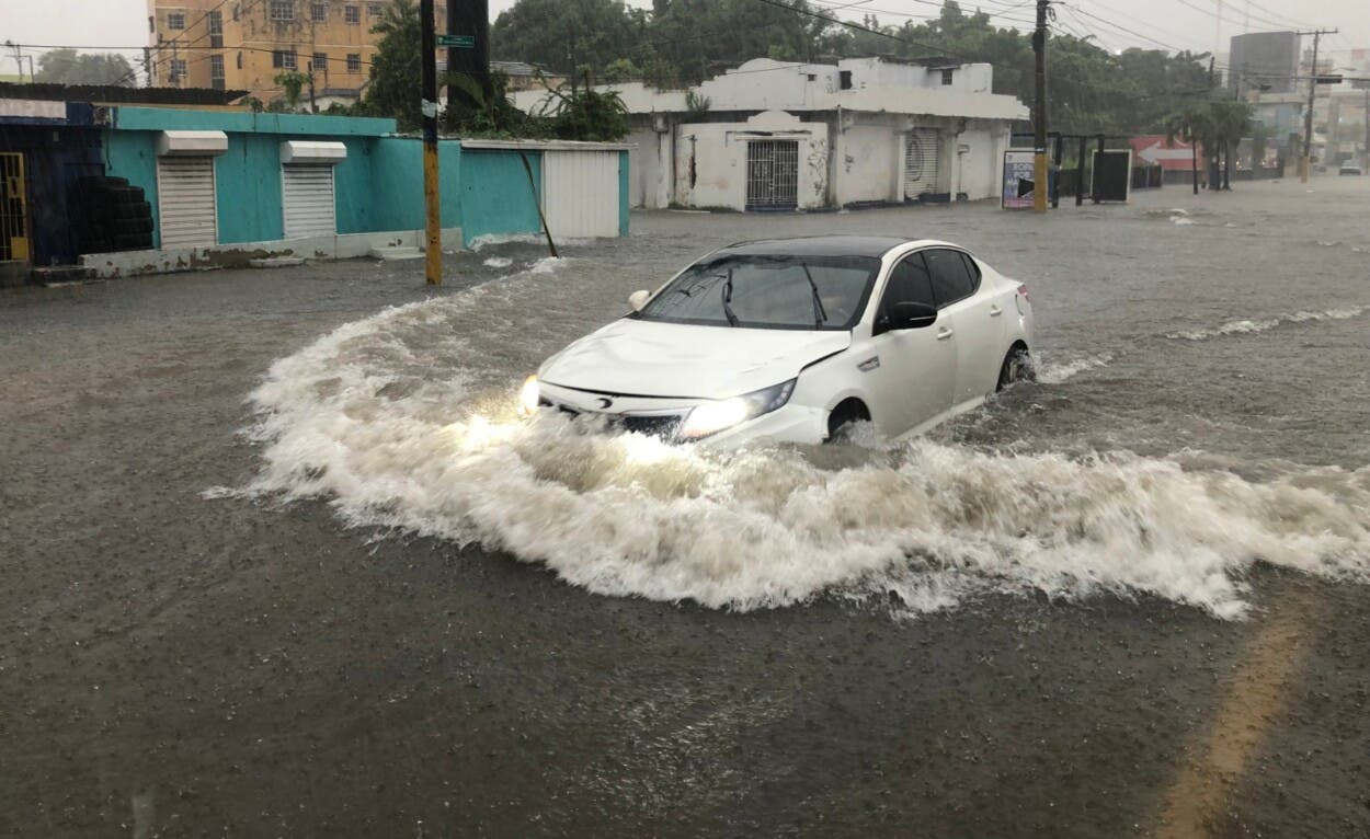
Although tropical storm Melissa It is located south/southwest of Port-au-Prince (Haiti) and approaches Jamaica, Its cloud bands have caused the greatest contributions of rain over the jurisdiction of Saint Dominicaccording to records from the Hydrometeorology Division of the Dominican Institute of Meteorology (Indomet).
The system was declared a tropical storm on October 21 at 11:00 amlocated south/southwest of Port-au-Prince. At that time it was moving westwards 21km/h and recorded maximum sustained winds of 85km/h.
Accumulated by days
- October 21: The highest record was in the National District, with 85mm.
- October 22: the National District accumulated 138mm (more than five inches).
- October 23: The stations with the greatest contributions were Los Prados (National District) with 188mm and Santo Domingo Este with 177mm; San Cristóbal follows with 125mm and Barahona with 107mm.
According to Indomet, the tropical wave that gave rise to Melissa moved over the south of the country on days October 17 and 18and continued to produce showers and thunderstorms as it strengthened near the coast of Colombia, fed by warm marine waters from 28–29°C.
In the last 24 hours the system decreased its translational speed—approximately to 4km/h—, although its wide cloud field persists, generating downpours in the Dominican Republic, Haiti and Jamaica.
Risks and recommendations
Meteorology and emergency agencies maintain surveillance for the possibility of:
- Urban and rural floods.
- Floods of rivers, streams and ravines.
- Landslides in areas with saturated soils.
- Strong gusts and dangerous waves on the coasts.
The population is recommended to follow the official warnings from Indomet and the Emergency Operations Center (COE), avoid crossing swollen riverbeds and not approach the coastline during episodes of strong waves.


