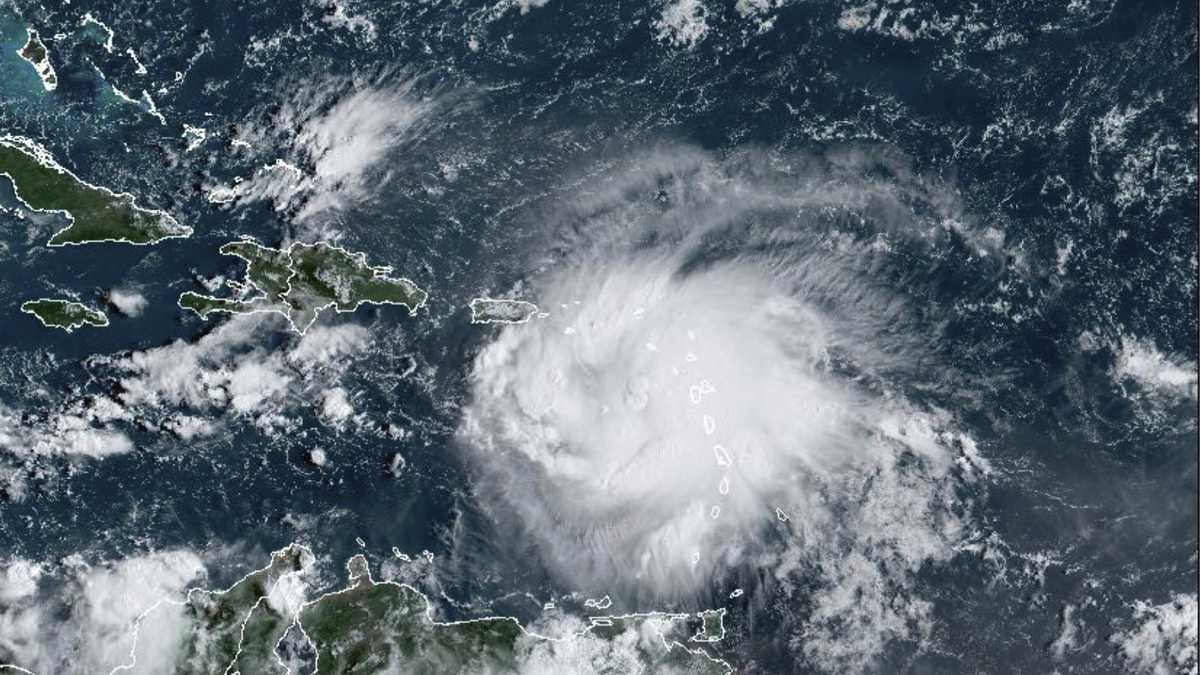
The center of Tropical Storm Fiona was located near latitude 17.0 north and longitude 65.9 west, about 125 km southeast of Ponce, Puerto Rico, and about 300 km southeast of Saona Island. It is currently moving west/northwest at about 13 kph. According to the report from the National Meteorological Office (Onamet) at 6 a.m. this Sunday, the maximum sustained winds remain at 100 kph with higher gusts.
“Some strengthening is forecast in the next 12 to 24 hours, due to certain favorable conditions. Storm-force winds extend about 220 km away from its center.” He says the latest satellite images show a broad cloud field generating moderate to heavy precipitation, thunderstorms and gusty winds, covering the Leeward Islands, the eastern Caribbean Sea, the Virgin Islands and eastern Puerto Rico. “It is observed that the cloud bands are gradually penetrating the La Mona channel.
It is expected that from the early morning hours of today and tomorrow, Monday, the activity of rainfall, electrical storms and gusts of wind will affect the Dominican territory, especially on the towns of the eastern, southeast, northeast, Valle del Cibao and the Central Cordillera”.
Operators of fragile, small and medium-sized vessels are recommended to remain in port, from the Barahona peninsula to Cabo Engaño on the south coast and from Cabo Engaño to Puerto Plata on the north coast. Due to forecast rainfall, Onamet maintains weather warning and alert against flooding of rivers, streams and ravines, as well as urban flooding and landslides.
