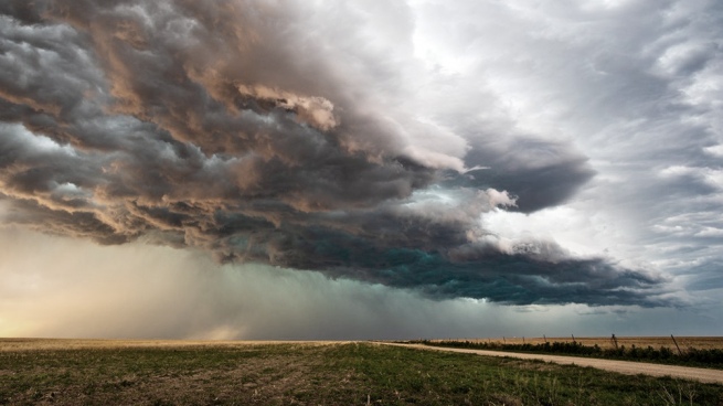
A “severe weather event – including the possibility of significant tornadoes – remains evident over the Lower Mississippi Valley/Central Gulf Coast” for this week, the Storm Prediction Center said Sunday.
A powerful low pressure system spreading across the western highlands will become a catalyst for severe weather over the next week in the southern plains and Gulf Coast region.
Starting Monday, more than 20 million people along the Gulf Coast could be affected by destructive winds, very large hail and tornadoes.
The Storm Prediction Center (SPC) has issued a level 3 of 5 “increased” risk watch for severe storms in parts of Texas and Louisiana, including Houston, Austin and Waco, Texas.
For the Ark-La-Tex region, the threat of tornadoes increases during the evening hours, when they are more than twice as likely to be deadly than those that occur during the day.
Warm, moist air will rise from the Gulf of Mexico ahead of the advance of the cold front, which will also increase the potential for flooding.
“Rainfall totals of more than 2 inches are possible and could create flooding problems,” the Weather Prediction Center said.
While most areas of the Southeast will get 1 to 3 inches of rain, isolated spots could get up to 4 inches through Wednesday.


