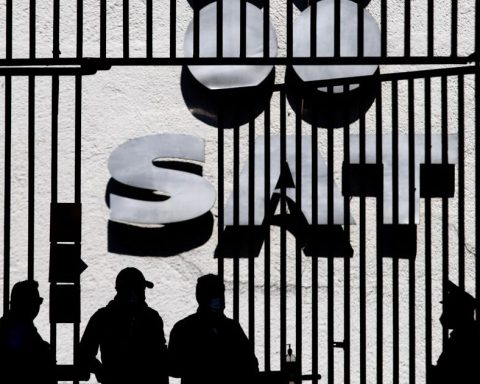
▲ Demonstration at the Semar Mobile Communications Center of the operation of the new vehicle for responding to natural disasters.Photo by German Canseco
Cesar Arellano Garcia
Sent
The newspaper La Jornada
Monday, August 19, 2024, p. 13
Veracruz, Ver., The Mobile Communications Center (Cecomov) of the Navy (Semar) designed a special vehicle for natural disaster zones. It has satellite communications, commercial Internet, command and control systems, as well as high-range motion system sensors. It was used for the first time last November, after the passage of Hurricane Otisin Acapulco, Guerrero.
Frigate Captain Eduardo Mora Palacios, deputy director of Command and Control Systems at the Technological Research and Development Unit (Unidetec), explained that the objective of this mobile disaster response unit is to be used when the aid phase of the Marine Plan is activated in the event of natural disasters. This type of vehicle, he said, complies with regulations issued by the International Red Cross.
It is normally equipped with different satellite band antennas, depending on the communications available to keep in contact with the Navy, and is reinforced with commercial satellite Internet and radio communication systems in its different bands. When there is a disaster, the unit is moved to the site. This module was placed for two months in Acapulco, Guerrero; in fact, the user personnel were part of the crew and operators of this unit during that time.
In Acapulco, the special vehicle enabled communication and coordination between the Command Center and the Navy elements working on rescue and property recovery actions, as well as in the different phases of the process of supporting the affected population. The unit’s surveillance systems also allowed it to protect certain points that were considered risky by their nature, for example, security, where food supplies were stored.
.
Mora Palacios added that the management and control systems make it possible to know in real time where each of the ships, aircraft or infantry units are so that they can move as quickly as possible to provide assistance in case of emergency.
In this georeferenced map, for example, we can find where a fishing vessel has sunk, so we can locate the nearest Navy vessel to coordinate the support operation. On land, in the event of a robbery at a shopping center after an earthquake or hurricane, the point is marked, we know geographically where it is and we can see which units are nearby. We use cameras to be able to see what is happening to reflect it on the map.
.
The frigate captain pointed out that this type of technology can also help in the fight against organized crime. Depending on the nature of the operation or emergency, It will be equipped with different types of systems, mainly communications and monitoring systems. In this way, we will be able to know where our units are, where they are going; with these systems we can safely send them an alarm or message with the location of suspects. It is a safe means because it is developed by the Navy.
.