The National Service of Meteorology and Hydrology (Senamhi) reported that until Thursday, December 11, precipitation (snow, hail, sleet and rain), of light to moderate intensity, is expected in the central and southern mountains.
The Senamhi also reported that These conditions are expected to persist in the coming hours. In addition, in locations located above 4200 m asl the occurrence of snow is expected.
Lime
Meanwhile, in the high Andean areas of Lima, rains accompanied by electric shocks are recorded.
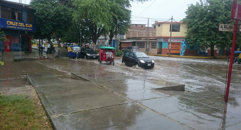
Senamhi reported that the light rains recorded during the last long weekend in several districts of Metropolitan Lima will continue in the coming days, in an unusual climatic context prior to the start of summer.
According to meteorologist Erick Rojas López, these precipitations are due to the movement of cloudiness from the mountains of Lima towards the coast, which has generated rains in areas such as Lurigancho, San Juan de Lurigancho, La Molina, Carabayllo, Comas, Los Olivos and San Martín de Porres.
These precipitations, which mark the beginning of the rainy season, could activate landslides, increase the flow of rivers and interrupt transportation routes in a context of high climate variability. Meanwhile, the coast will continue to have below-average rainfall accumulations.
Likewise, until December 14, a significant increase in winds is expected on the central coast, especially in Lima, Áncash and Ica. These gusts could affect exposed infrastructure, reduce visibility in urban areas and aggravate respiratory problems.
Given these conditions, Rímac recommended avoiding areas at risk of landslides, checking structures vulnerable to wind and rain, being attentive to official reports and protecting assets located in areas susceptible to flooding.


