A tool developed by the Non -Governmental Organization (NGO) International Conservation (IC) makes use of artificial intelligence to identify priority areas for native vegetation restoration throughout the country. The platform was named CIRA (Acronym in English for International Conservation Ecosystems Assistant) and will be available for free in the second half of this year.
According to CI BRASIL LANDSCAPE RESTORATION Director Luciana Pugliese, the platform arises to meet the demand for a tool capable of integrating information on the topic, such as biome cost, incentives and legal requirements.
“CIERA aims to make restoration more public, more shared, so that everyone can appropriate this decision making of the best place to restore,” he says.
The initiative is the result of international collaboration between Brazilians and Americans of CI, in partnership with universities and technology companies. The platform innovates in the automatic interpretation of data and information available from multiple sources and formats.
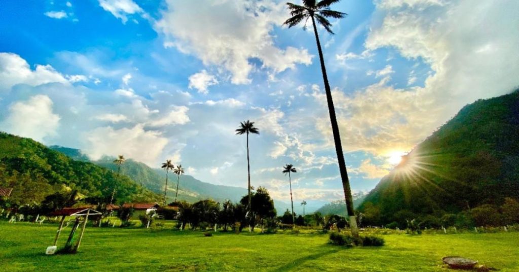
During the development of CIRA, the team of scientists integrated geospatial data and information contained in public policies and Brazilian laws, such as the National Plan for Native Vegetation Recovery (Planaveg)launched in October last year, during the 16th United Nations Conference for Biodiversity (COP16) in Cali, Colombia.
The policy reinforces Brazil’s objective in multilateral agreements to restore 12 million hectares of native vegetation by 2030.
Data from the Restoration and Reforestation Observatory They reveal that Brazil currently has 153.14 thousand hectares of the original vegetation recovered and 8.76 million reforested hectares. According to the Ministry of Environment and Climate Change Department (MMA), only to comply with the Forest Code (Law 12.651/2012), Brazil has an environmental liability of 25 million hectares of native vegetation that needs to be recovered.
According to Luciana, CIRA is able to look between official documents and qualified information available on the Internet everything required to create a knowledge base to guide the user, whether a rural owner or a public manager.
“For example, if a state government is interested in restoring areas where there are the largest number of owners with app deficit [área de preservação permanente]legal reserve and non -compliance with the Forest Code, CIRA allows us to do this analysis and indicate, where are the most viable basins or territories to have the maximum results in restoration, ”he explains.
In addition to identifying the area, the tool points to methodology, the best species to be planted, cost information and helps to clarify doubts that can arise throughout the execution of a project.
“It’s that process of Machine Learningin which the machine is learning as more possibilities, more information and models that feed the tool are brought. So, the idea is to keep supporting this machine learning process and as we are using in our own projects and other people access, it gets increasingly accurate, ”says Luciana.
Recently, this stage of improvement has gained a reinforcement after the platform won the Global Hack4good 3.0 challenge, announced in March in Seattle, United States. CIRA stood out among other positive impact innovations for the world.
“In at least more than three months, we will all be consolidated and available to apply by landowners or decision makers, in general,” says Luciana Pugliese.
