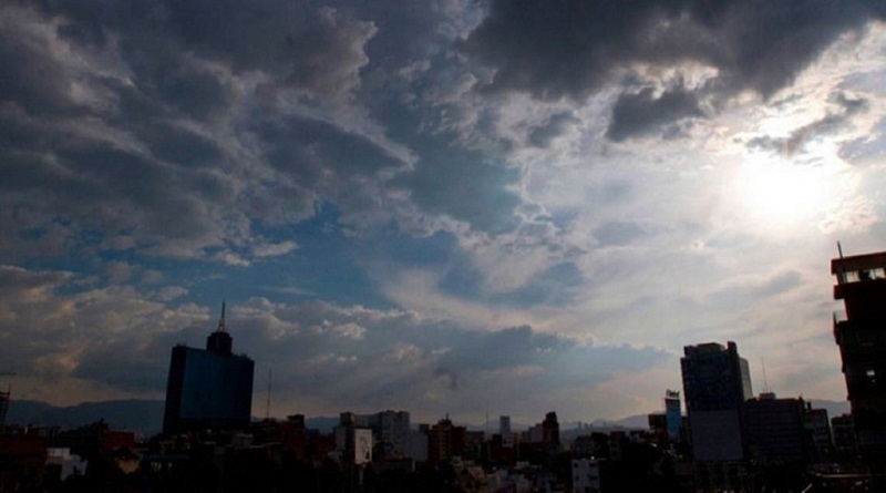
As indicated, severe storms are expected for central Argentina, Uruguay, south-central Brazil, Paraguay and even Bolivia. “The risk of severe storms with gales and hail of different sizes, in addition to locally heavy to intense rains, is very high,” he notes.
The storms will begin in the provinces of central Argentina late this Saturday and early this Sunday.
The clouds tend to form initially in the north of the province of Buenos Aires, south of Santa Fe and south of Entre Ríos. Then, the front advances towards the Southwest and South of Uruguay, reaching the areas of Montevideo and Colonia. “In the course of Sunday morning, storms take over Uruguay,” the report states.
In Rio Grande do Sul, the front should reach the border region with Uruguay between mid and late in the morning. Between afternoon and evening, the atmosphere becomes unstable with the displacement of the frontal system in much of Rio Grande do Sul.
The front, then, will reach Paraguay, the other states of the South of Brazil, the Center-West and part of the Southeast during Monday, but it is noted that already before, from Sunday afternoon until Sunday night, many areas of these regions already They will have isolated showers and thunderstorms due to very hot and unstable air that is expected in a dynamic similar to that which occurs in the summer months. “The cold front is so powerful, considering that it will be driven by a very intense and wide-ranging cold air mass, unusually strong for November, that the frontal system will be able to reach some areas in the north and even north-east of Brazil, such as the interior of Bahia, with rain and thunderstorms on Tuesday and Wednesday. The system, for example, should cause a lot of rain in parts of Goiás, Tocantins, Minas Gerais and Bahía» it is pointed out.
It is added «that the synoptic scenario will be favorable for locally strong to severe storms in the displacement of the cold front through Argentina, Uruguay, Paraguay and the Center-South of Brazil. The atmospheric profile will be favorable for the formation of some isolated thunderstorm supercells, capable of generating phenomena of great severity such as medium to large hail, very intense wind gust fronts, violent downdrafts (downbursts) and even some tornadic activity» .
“On Sunday morning, storms take over Uruguay” says Metsul from Brazil
Latest from Blog

Government evaluates contracting insurance against rise in oil prices
The Dominican Government is holding talks with investment banks to acquire financial insurance that will mitigate the impact on the public finances of possible increases in crude oil, given the recent increase

Caixa resumes financing for properties above R$2.25 million
Caixa Econômica Federal announced this Tuesday (3) the resumption of financing for the purchase of residential properties above R$2.25 million with resources from the savings account. The modality, framed in the Real
American convicted of trying to produce child pornography with a minor in Cuba
On February 11, a federal jury convicted Earl Richard Clouser, 55, of Burnham, Pennsylvania, for attempting to produce child sexual abuse material with a 15-year-old teenager in Cuba. According to the United

In Coppelia they no longer sell ice cream, only dry wine
Havana/On the corner of 23rd and L, where for decades Havana waited in line to enjoy a five-scoop salad, this Tuesday the only possible taste was the bitter aftertaste of frustration. The

Venezuela announces new oil sales contracts for the United States market
“PDVSA has signed supply contracts with companies marketing oil and derivatives destined for the United States market,” the state-run company reported without identifying the companies or offering more details of the contracts.

