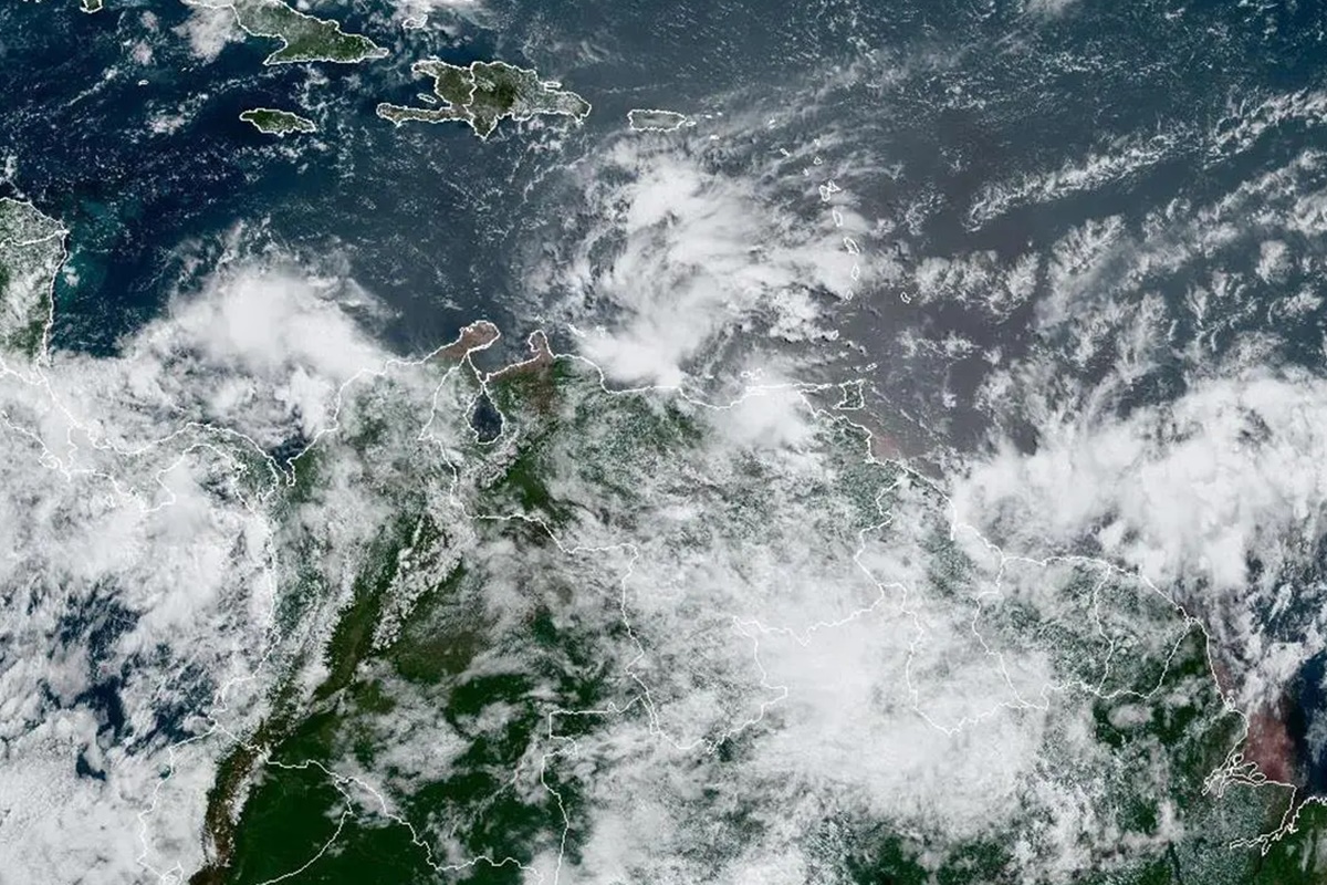
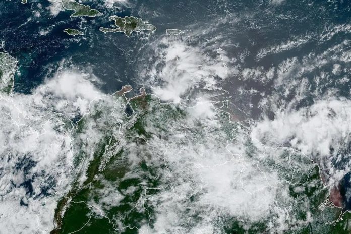
Ángel Graterol, coordinator of the Forecast Room of the National Institute of Meteorology and Hydrology -Inameh-, recommended this Tuesday to the citizens keep calm and take the necessary precautions before the heavy rains and gusts of wind due to the passage through the Venezuelan coast of the second potential tropical cyclone this year, which after noon was located about 500 kilometers east-southeast of the Sucre state.
That system, the official told The National, It has maximum sustained winds of 65 kilometers per hour and a minimum central pressure of 1,009 hectopascals, with a fairly rapid displacement to the west at about 37 kilometers per hour.
“We estimate that in the early hours of the morning it is already affecting the Sucre state area. Its displacement will be towards the west-northwest, affecting the entire northern coastal portion of our territory,” he said.
Graterol said that the areas most affected by the cyclone will be all the states that are in the north-coastal portion, especially the states of Aragua, Vargas, Miranda, Carabobo, Falcón, and the Capital District. Even, he added, that system, when moving through the Caribbean, would activate the Intertropical Convergence Zone, which will cause rains in a large part of the country.
Until Thursday night
The coordinator of the Inameh Forecast Room indicated that it is estimated that by Thursday at 8:00 pm the cyclone is arriving in northern Colombia. At the same time, this system will continue, in its displacement, generating rainfall to the west of the country.
“Rainfalls are going to be more intense towards Falcón and towards the Andean region because this entire area is going to be activated. So far the system is a bit disorganized. Although it has maximum sustained winds of 65 kilometers per hour, it has not yet become a tropical storm, it still remains a potential tropical cyclone,” he said.
A tropical storm is possible
Graterol expressed that, as it progresses, chances of a tropical storm forming but ruled out that it can become a hurricane.
“It is estimated that passing through the north of North America it will become a category 1 hurricane (118 maximum sustained kilometers), according to models. We have no risk of it affecting us as a hurricane“, he claimed.
If the authorities declare it a storm, it will be named after Bonnie.
Heavy rain and gusty winds
The official also noted that heavy rains and gusts of wind are estimated, so there will be an increase in the waves on the coasts of the country. The National Risk System, he stressed, is 100% activated and taking forecasts.
Delcy Rodríguez, vice president of Nicolás Maduro, reported that starting at 1:00 pm on Tuesday, departures were prohibited and there will be flight restrictions in the affected entities. “The entire population must be prepared because prolonged rains, sustained high-speed winds are expected, and they are asked to remain in their homes as much as possible,” the official said in a broadcast through Venezolana de Televisión.


