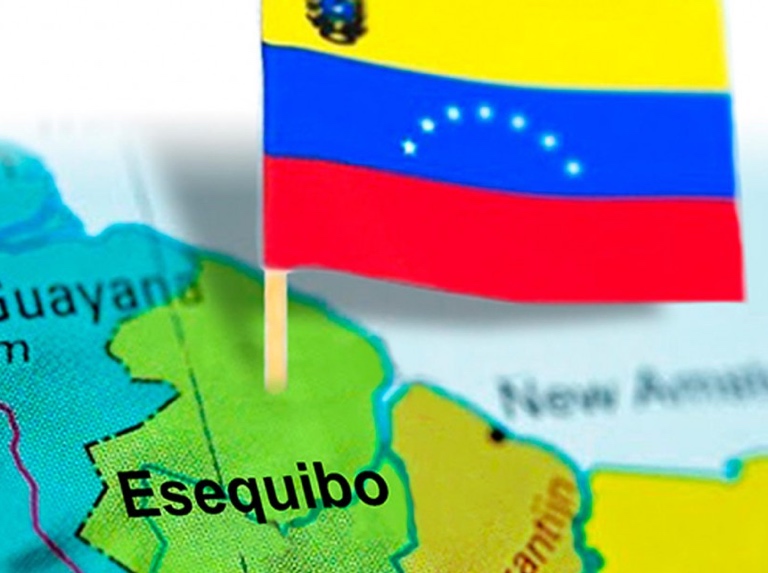
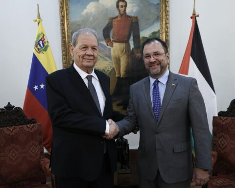
The Organization “My Map of Venezuela includes our Essequibo”, as advisors to the Special Commission for the Defense of the Territory of Guayana Esequiba and Territorial Sovereignty of the National Assembly of Venezuela, presented notable points about the actions that it is committing today Guyana regarding the territorial dispute with Venezuela over the Essequibo Territory.
Its General Coordinator, Jorge Luis Fuguett, detailed the installation of radio stations on the de facto limit with a signal that invades towns of Delta Amacuro and Bolívar, and that offer programming in Spanish with the excuse of teaching English to Venezuelans in the area, while inculcating Guyanese history to the detriment of Venezuelan identity.
The organization referred specifically to the towns of Puerto Kaituma and Kaikan, where the latter town was highlighted for its geopolitical importance, where the Guyanese State has developed a military presence,
Likewise, it denounced the presence of supposed border markers in the de facto limit, specifically in the town of Aguablanca, 6.3 km from the Amacuro Delta, where the Guyanese press reported that supporters of the Irfaan Ali government were present there and the ” They cleaned and painted.
This action, in case of being real landmarks, violates international laws in the manipulation of border landmarks since they should only be dealt with by commissions of the foreign ministries of both countries. The report indicated that there is no evidence of the presence of these milestones since 1905, when the de facto limit was compulsorily demarcated. There is also no evidence that they are located on that limit or further west in favor of Guyana. As it happens, these milestones are placed right where there are nearby Guyanese military bases.
Military presence, act of provocation
The study mentioned the new media action from Guyana, who ordered their military to instruct the population of the de facto border on the controversial issue with Venezuela, deliver maps of Guyana that include the Essequibo. The Secretary of the Foreign Ministry, Robert Persaud, argued that the campaign has been positive “because the publication of the map of Venezuela with the Essequibo has decreased”, a point that we deny in its entirety.
The organization Mi Mapa reviewed the highly valid and necessary action of the Bolivarian National Armed Forces in patrolling the Cuyuni River, the de facto border with Guyana that they consider to be theirs in its entirety; It should be noted that the Guyana Guard has indicated that they are the ones who patrol the river and that it is “under their total control.”
They also announced the start of the “Tradewinds 2023” military exercise starting on July 14 of this year in Guyanese territory, where 17 states, including the US, will participate. The Guyanese press does not indicate that they will take place in Essequibo and reiterates that They are of a humanitarian and rescue nature. Guyana hosted them in 2021.
Correction of the official map
The organization Mi Mapa indicated some points that must be corrected in the current official map, 2021 edition, including a third type of line in the layout of the de facto limit, which is distinguished from the state limit and the international limit, among other points.
Likewise, it was requested that the design of the official Map of the year 2012 be resumed, which presented the Essequibo territory without any lines and with the tagline of the territorial claim according to the Geneva Agreement of 1966; in this way we generate greater ownership of it.
But they did not want to stay there and they also proposed the elaboration of a map without lines and that the Essequibo Territory return to its original states: Delta Amacuro and Bolívar. In this way, we guarantee a publication of the complete map since it would not only be of the nation, but it would once again be part of two states.
They reiterated the imperative need to sanction any natural and legal person who publishes the map without the Essequibo territory, taking into account the decrees of the Assembly, the executive branch, Conatel’s administrative ruling 101, the Cartography Law and the National Constitution.

