From Friday (30), a cyclone is expected to form in the Southeast region of the country and favor the occurrence of large volumes of rain in the states of São Paulo, Rio de Janeiro and southern Minas Gerais. The forecast is from the National Institute of Meteorology (Inmet).
According to Inmet, this cyclone should form on the coast of the Southeast states and cause rainfall that could exceed 100 millimeters in the Serra da Mantiqueira areas, while on the coast of São Paulo the volumes could exceed 60 millimeters.
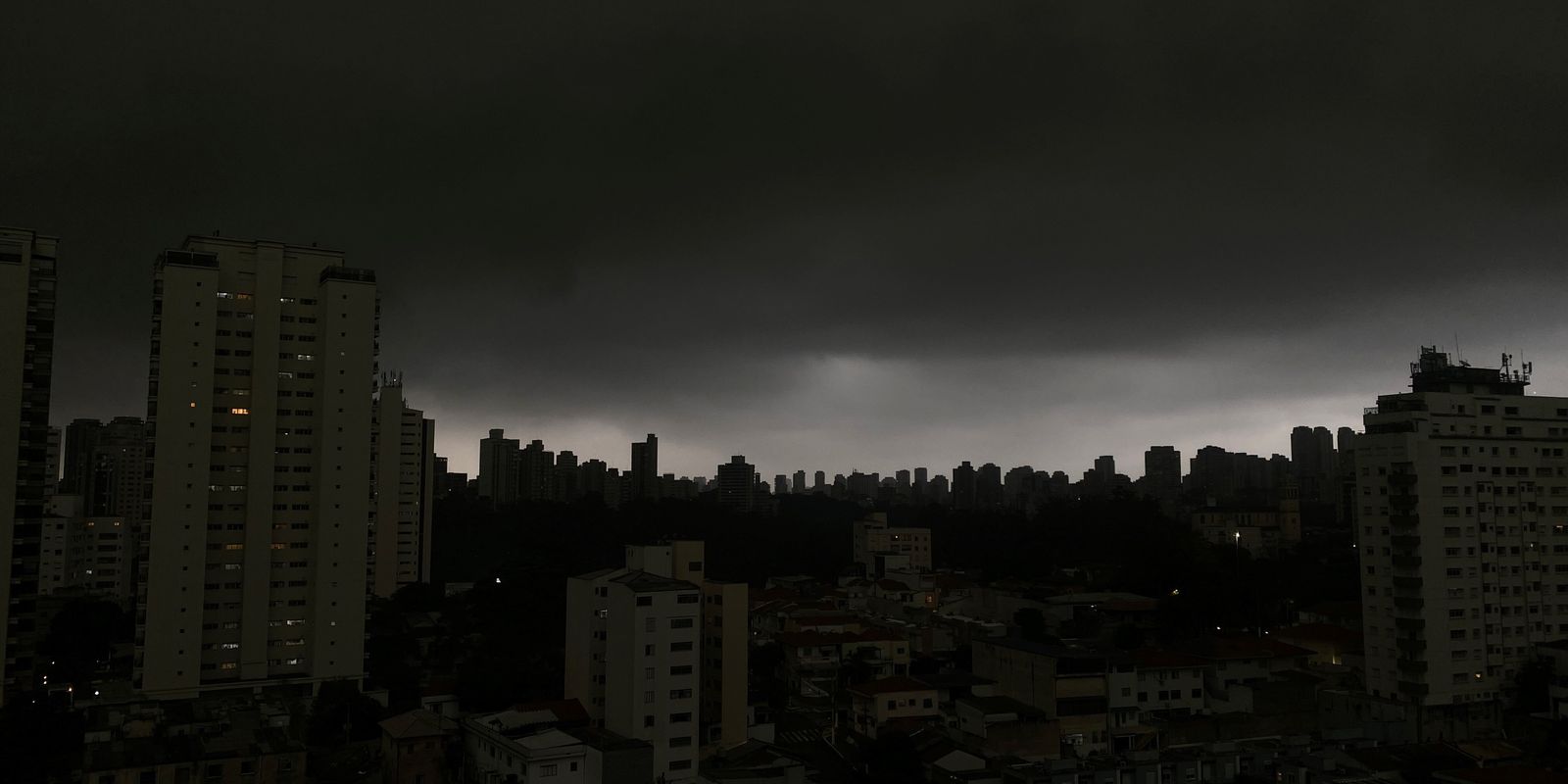
The action of this cyclone should also favor the occurrence of storms in the city of São Paulo during Friday, with the possibility of hail falling in a large part of the state of São Paulo and in neighboring municipalities of Minas Gerais, especially in the Triângulo Mineiro.
On Saturday (31), the areas of rain are concentrated between the Triângulo Mineiro and Rio de Janeiro, with accumulations that can exceed 100 millimeters in 24 hours. There is a storm forecast located between the north of Santa Catarina, the east of Paraná and the south of São Paulo.
So far, the forecast indicates that this cyclone should continue to act until the beginning of next week, favoring the formation of a moisture channel between Espírito Santo and Mato Grosso.
Cold front
Starting this Thursday (29), the passage of a cold front should cause intense rain and isolated storms in Paraná and Santa Catarina. The areas with the highest risk of storms, including lightning and hail, include the metropolitan region of Curitiba, the north of Santa Catarina, the Itajaí Valley and the mountainous region of Santa Catarina. In these regions, rainfall can reach 100 millimeters in 24 hours.
