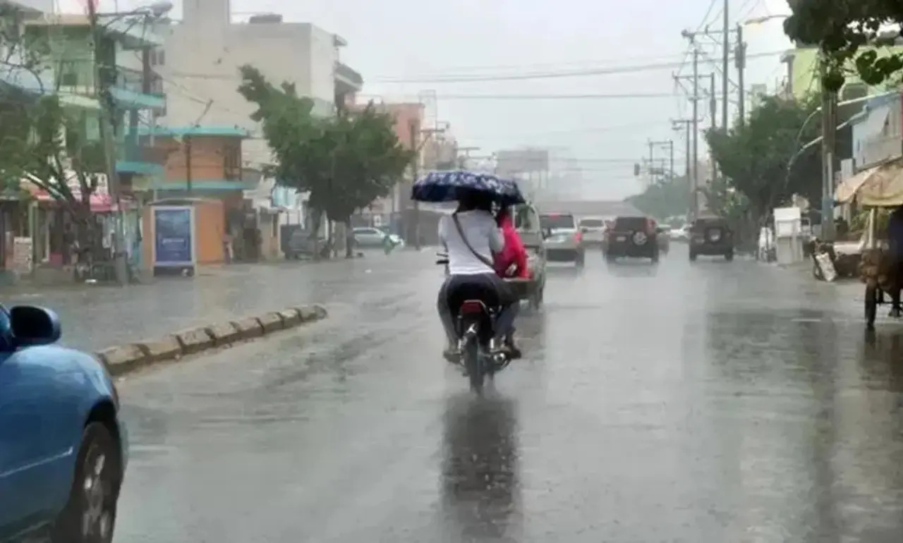
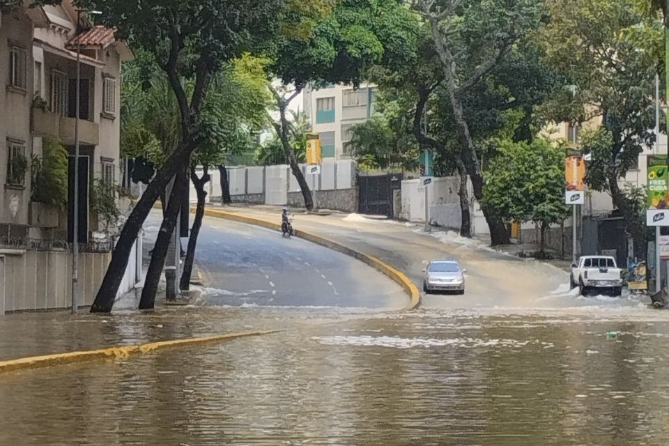
Santo Domingo, DR.- The National Institute of Meteorology (Indomet) It is anticipated that, after noon on Saturday, the effects associated with diurnal cycle and one weak trough to the southeast of the Dominican territory will be generating cloud increases accompanied by showers, thunderstorms and possible gusts of wind in the provinces of the northeast, southeast, central mountain range and the Cibao Valley.
The effects will be felt in the provinces of Hato Mayor, Monte Plata, San Pedro de Macoris, Duarte, San Cristobal, Sanchez Ramirez, Azua, La Vega, Monsignor Nouel, San Juan, Elias Pine, Dajabon, Independence, Bahoruco and The Great Santo Domingo.
He points out that the rains will decrease at the beginning of the night, but some isolated showers and thunderstorms are expected in towns in the eastern part of the country, until the early hours of the morning.
While for tomorrow Sunday, Since the early hours of the morning, the Indomet It is forecast that there will be some clouds accompanied by scattered showers and isolated thunderstorms in provinces near the Atlantic and Caribbean coast, such as: La Altagracia, San Pedro de Macorís, San Cristóbal, Barahona, Samaná, María Trinidad Sánchez and The Great Santo Domingo.
In the afternoon, the trough will once again combine its effects with those associated with the diurnal cycle, therefore, we will observe some increases in cloudiness that will leave scattered showers and thunderstorms until early evening, in the provinces of: Hato Mayor, Monte Plata, Sánchez Ramírez, Duarte, San Cristóbal, La Vega, Monseñor Nouel, Santiago, Santiago Rodríguez, Monte Cristi, Elías Piña, Dajabón, Independencia, Bahoruco and Greater Santo Domingo.
Indomet is monitoring several areas with a probability of cyclonic development:
- A trough associated with a low pressure area over the northwestern Gulf of Mexico with a 10% chance of cyclonic development over the next two days.
- A tropical wave in the central Atlantic with a very low probability of cyclonic development during the next 48 hours, while 50% for the next seven days.
- Another tropical wave near the Cape Verde Islands has a 20% development potential over the next seven days.
- It will continue to be hot, so it is important to drink water and stay in ventilated spaces to mitigate the impact of high temperatures.
