Hurricane Ian hit Cuba early Tuesday morning as a Category 3 monster with winds of 125 mph/201 kmph.
Current forecast models show a tendency for landfall further south and east along the coast of western Florida. That would bring the center of Ian ashore in western Florida, possibly early Wednesday or Thursday.
An earlier landfall would mean a stronger hurricane entry, at least Category 3 intensity, since the wind shear wouldn’t have enough time to degrade it a bit. This increases the danger to Southwest Florida, including Charlotte Harbor and Fort Myers. But powerful storm surges are not ruled out in Tampa, where it was called to make landfall until recently.

Ian will be a very large and dangerous hurricane as it approaches the coast with potentially catastrophic impacts threatening human life and property.
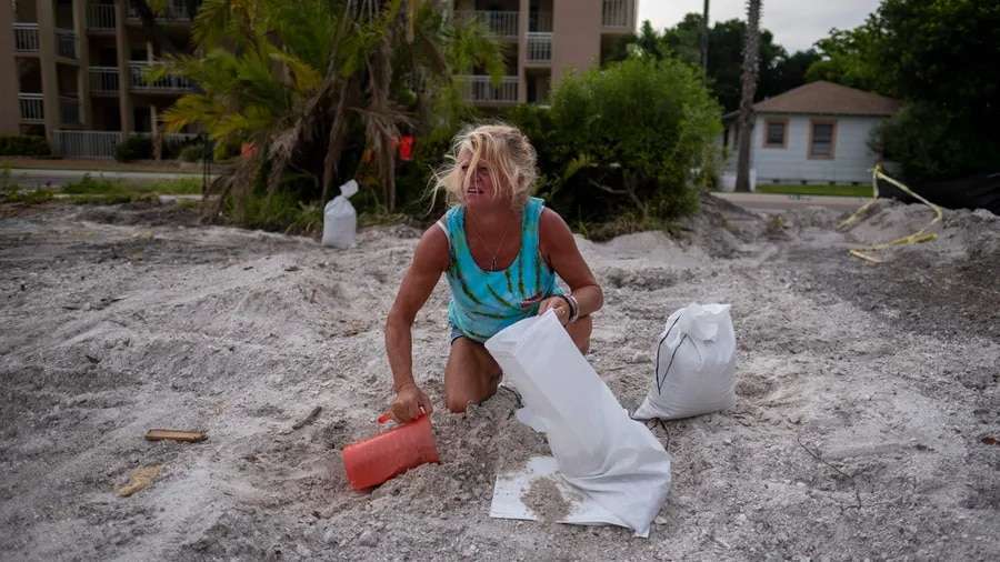
Hundreds of thousands of Floridians received mandatory evacuation orders as a hurricane warning spread across more than 150 miles of the state’s Gulf Coast.
Power outages are expected across the state, officials have warned. Along with the winds, parts of central Florida could experience 12 to 16 inches of rain with 2 feet possible in some areas, the National Hurricane Center said.
Florida Governor Ron DeSantis said there was potential for “historic” storm surge and flooding.