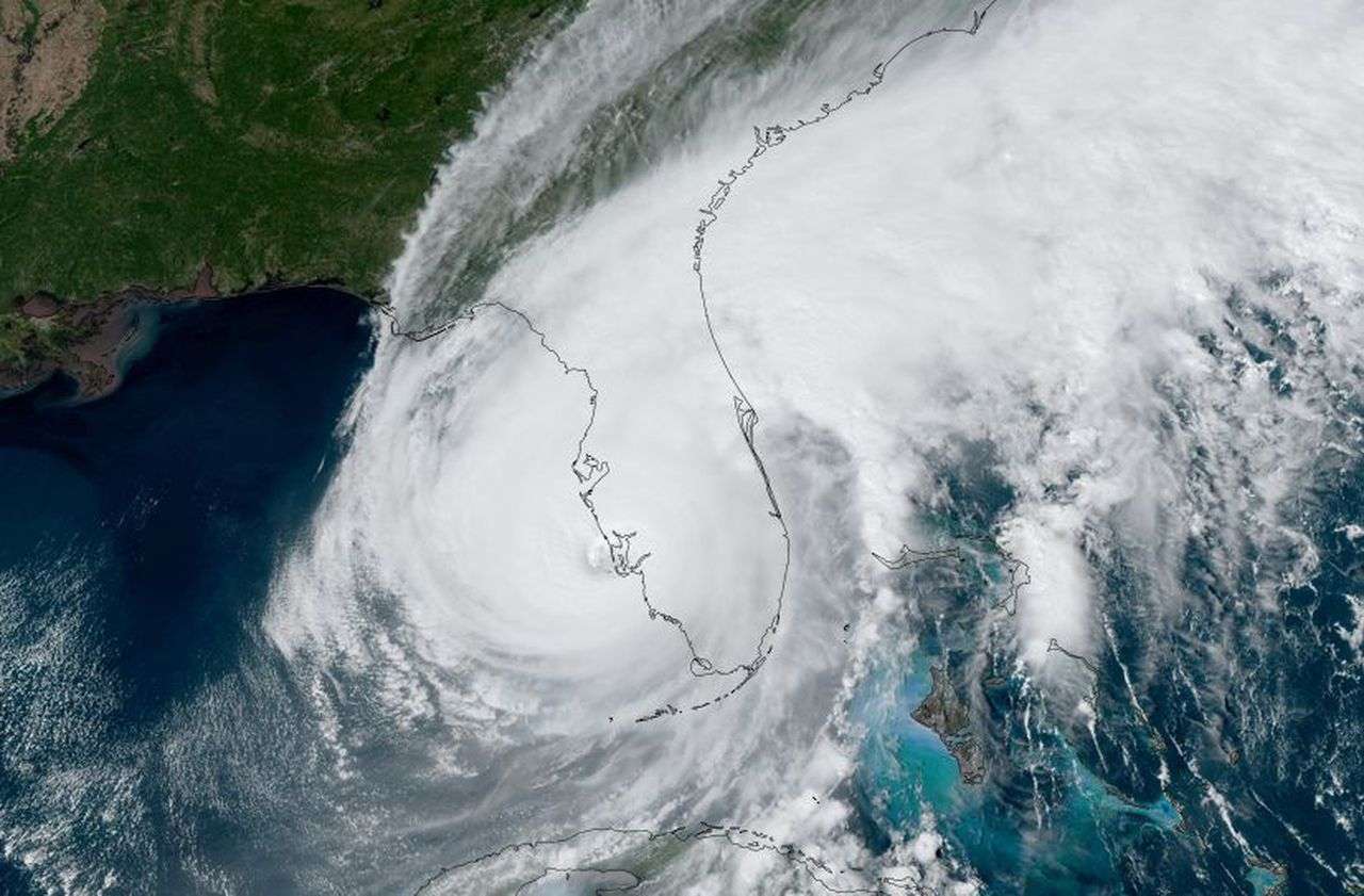
The eye of Hurricane Ian made landfall near Cayo Costa around 3:05 pm Its maximum sustained winds were estimated at about 150 mph/24i kmph, making it a strong Category 4 hurricane. It is the fourth strongest landfall from a hurricane in Florida.
Storm surge from Ian has reached along parts of Florida’s southwest coast, including in Naples, where more than 6 feet of flooding has been measured, more than any other storm in at least 50 years. Water levels are reaching the top of the first floor of homes in Fort Myers Beach.
Ryan Lamb, fire chief and director of emergency management for Cape Coral, Florida, said the city is receiving reports of significant structural damage. “We are receiving reports of significant structural damage throughout our city, as well as rainfall,” he said.
Ian’s eyewall continues to scrape the coast of southwestern Florida, including Sanibel Island, Port Charlotte, and Fort Myers, prompting a rarely issued “Extreme Wind Warning,” used by the National Weather Service only. in situations of more intense winds in stronger hurricanes. .
Winds have gusted up to 118 mph at Tarpon Point in Cape Coral, 112 mph at Naples Grande Beach Resort, 107 mph near Sanibel Island and 79 mph at Punta Gorda. Gusts of more than 40 mph have been recorded on the Atlantic side, including a 54 mph gust at Cape Canaveral. A tornado watch is in effect for central and south Florida until 5 p.m.
Hurricane warnings now extend across the Florida Peninsula from the southwest to the central Florida Space Coast, including Tampa-St. Petersburg, Fort Myers, Orlando and Daytona Beach.
A storm surge warning is also in effect along much of Florida’s west coast, from the mouth of the Suwanee River to the Lower Keys, including Tampa Bay, and also on the Atlantic side, from the line of the Flagler-Volusia County in northeast Florida to all of Georgia to Charleston County, South Carolina.


