September 13, 2024, 6:56 AM
September 13, 2024, 6:56 AM
A massive landslide in a Greenland fjord triggered a wave that “shook the Earth“ for nine days.
The seismic signal, detected in September last year, was recorded by sensors around the world. The magnitude of the impact led scientists to want to investigate where it had originated.
The landslide – a rock slope that collapsed and carried away the glacial ice – triggered a 200-meter wave.
That wave was “trapped” in the narrow fjord and moved back and forth during nine dayswhich caused the vibrations.
Scientists said that these types of land movements are being recorded more frequently, due to the climate changeas the glaciers that support Greenland’s mountains are melting.
The origin of the “megatsunami”
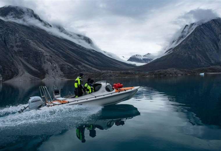
The results of the research on this phenomenon, which were published in the journal Scienceare the result of a research mission involving an international team of scientists and the Danish Navy.
“When colleagues detected this signal last year, it did not seem to be an earthquake. At that time, we called it ‘unidentified seismic object’“recalls one of the scientists involved, Stephen Hicks, a doctor at University College London.
“For nine days, it kept appearing every 90 seconds.”
So a group of scientists began discussing this puzzling signal on an online chat platform.
“At the same time, colleagues from Denmark, who are doing field work in Greenland, received reports of a tsunami “that had happened in a remote fjord. So we joined forces,” Hicks explained.
The team used the seismic data to locate the source of the signal in Dickson Fjord in eastern Greenland.
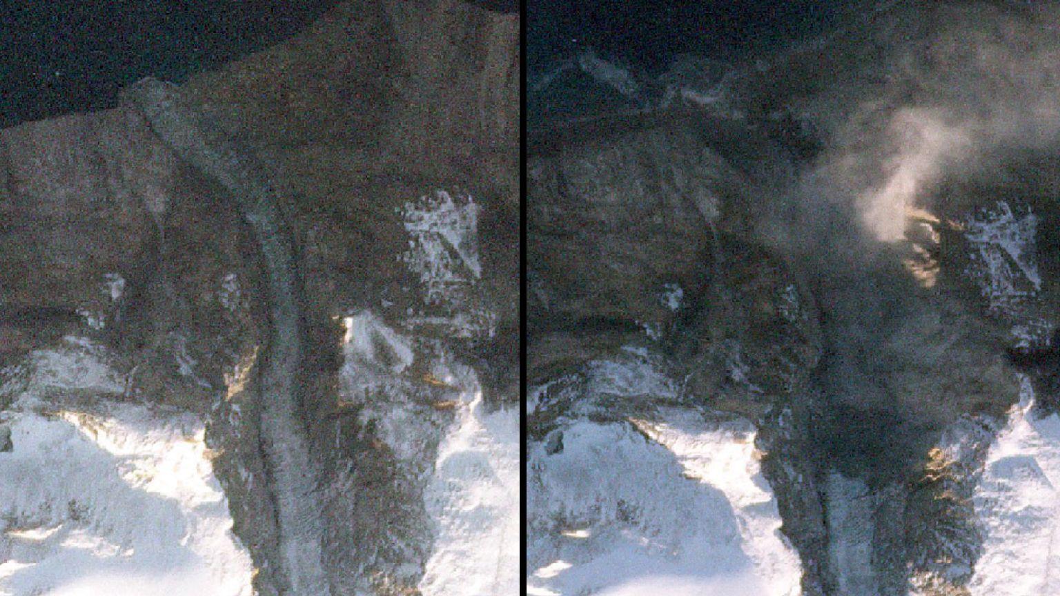
They then gathered other clues, including satellite images and photographs of the fjord that were taken by the Danish Navy just before the signal appeared.
A satellite image showed a cloud of dust in a ravine in the fjord. photo comparisonbefore and after the event, revealed that a mountain had collapsed and dragged part of a glacier into the water.
Researchers eventually calculated that 25 million cubic meters of rock, a volume equivalent to 25 Empire State Buildings, crashed into the water causing a “megatsunami” 200 meters high.
In the “after” photographs of the site, a mark can be seen on the glacier, left by the sediment that the giant wave left upwards.
A “caught” wave
Tsunamis that are usually caused by underground earthquakes dissipate within hours in the open ocean. But, in this case, the wave was caught.
“This landslide occurred about 200 km inland from the open ocean. And these fjord systems are complex, so the wave could not dissipate its energy“Hicks explains.
The team created a model to show how, instead of dissipating, the wave moved back and forth for nine days.
“We’ve never seen water move on such a large scale for such a long period of time before,” Hicks said.
Scientists say the landslide was caused by the rising temperatures in Greenland which has melted the glacier at the base of the mountain.
“That glacier was holding up the mountain, but it became so thin that it just stopped holding it up. That shows how climate change is affecting these areas,” Hicks said.
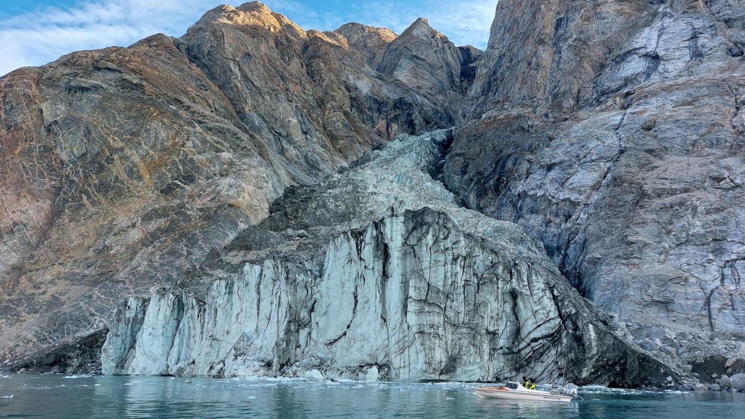
Although this event took place in a remote areasome Arctic cruises often visit these fjords.
Fortunately, none of these ships were in the area where the landslide occurred at the time.
Lead researcher Kristian Svennevig of the National Geological Survey of Denmark and Greenland said this was an increasingly common phenomenon in the Arctic.
“We are witnessing a Increase in giant landslides “which cause tsunamis, especially in Greenland,” Svennevig told BBC News.
“While the events in Dickson Fjord alone do not confirm this trend, their unprecedented scale “reflects the need for further research.”
What happened in Dickson Fjord, Hicks added, “may be the first time that a climate change event has impacted the crust beneath our feet anywhere in the world.”

And remember that you can receive notifications in our app. Download the latest version and activate them.
