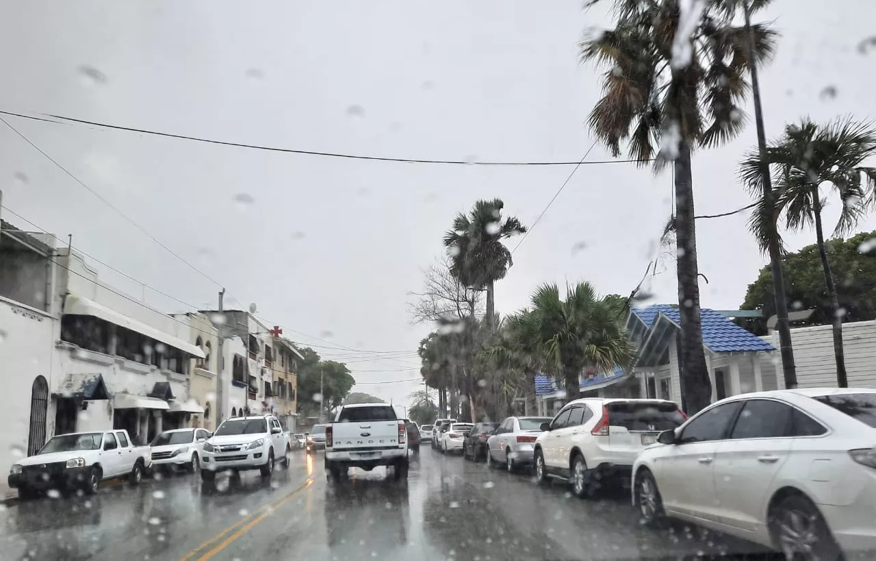
Santo Domingo. – Although during the morning of this Tuesday, much of the country will remain clear with few probabilities of strong rainfall-they are only planned widely isolated showers Towards him Caribbean coast Southwest-, in the afternoon the weather conditions could be dominated by heavy rains in interior provinces.
This was reported by the Dominican Institute of Meteorology (INDOMET)that in his time bulletin he indicated that, due to the effects of a high pressure system, some could occur in the afternoon cloud increasesgenerated by the evening heat, so you are expected of downpours and thundered on villages of Pedernales, Elías Piña, San José de OcoaLa Vega and Santiago.
Rains are also foreseen in San Juan, Santiago RodríguezDajabón, the coastal area of Hato Mayor, The Seiboand other neighboring locations. However, according to the entity, the rainy climate will disappear at night.
Cyclonic activity
Continuing with the monitoring of the cyclonic season, the Indomet Humberto Now it is a category two hurricane on the Saffir-Simpson scale, located 440 kilometers west of Bermuda, and has maximum sustained winds of 155 kilometers per hour with upper bursts.
According to the institution, this meteorological system presents danger to the Dominican Republic. However, he recommends Fragile, small And medium vessels on the Atlantic coast, perform its operations near the coastal perimeter without venturing sea, due to dangerous waves and strong winds associated with this atmospheric event.
As for the tropical storm Imeldareported that it is located about 270 kilometers north of the Gran Abaco Island, and has 110 kilometers with upper bursts and moves northeast to 11 kilometers.
Said system, according to official data, is not in danger to the Dominican Republic.


