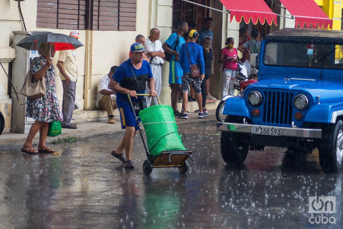
Cuban experts predicted few rainy and a greater cyclonic threat for the Island in August, especially from the second fortnight of the month that has just begun.
In the monthly forecastpublished by the Institute of Meteorology (Insmet), the specialists of the Climate Surveillance Center recalled that “August is the second month of the intra-summer period and, therefore, one of the two months that contributes less precipitation to the rainy period in Cuba” .
During this month, they explained, “the notable influence of the North Atlantic Anticyclone on Cuba is maintained, which conditions rainfall to be relatively scarce.”
However, they added, in this period “showers and electrical storms occur, mainly during the afternoon and early evening, associated with the passage of systems from the tropical zone, such as waves and tropical lows, and daytime heating.”
In this context, and “based on the models consulted by the Climate Center and the consensus of the prediction team”, the experts foresee that in August “precipitation totals will occur in the norm in all the regions of the country”.
According to their forecasts, cited by Cuban News Agency (ACN), in western Cuba 194.9 millimeters should fall; in the center 170.4; and in the east 127.6, while the maximum temperature will be 32.3-33.1 degrees Celsius, 32.5-33.3 and 32.6-33.4, respectively.
Insmet specialists specified that in August “cyclonic activity over Cuba begins to increase,” although, they added, “the frequency of hurricanes that affect it in that month is only half that of September.”
Cuban Institute of Meteorology forecasts an active cyclonic season
other report of the ACN On the subject, he details that this is “the third month of greatest danger of a tropical cyclone, after October and September, when they are usually accompanied by an extensive cloudy area with showers, rains, electrical storms and even tornadoes.”
Cuban meteorologists, quoted by the media, recalled that the current season is expected to be “active” and in it “17 tropical cyclones may form in the entire North Atlantic basin, of which nine could reach the category of hurricane.”
Of them, according to the specialists, “12 will develop in the Atlantic oceanic area, three in the Caribbean Sea and two in the Gulf of Mexico, when there is a high probability that at least one hurricane will originate and intensify in the Caribbean. (60%) and that one of Atlantic origin enters that subregion (75%)”.
The experts also warned that “the danger is high that Cuba will be hit by at least one tropical cyclone, with an 85% chance and at least one with a hurricane category, with a 60% chance,” adds the ACN.
Finally, the meteorologists pointed out that “currently the negative (cold) anomalies of the sea surface temperature in the central and eastern Pacific Ocean have weakened although they maintain values typical of a weak La Niña-Southern Oscillation (AENOS) event”, while that “positive (warm) anomalies of sea surface temperature remain in the Atlantic Ocean.”
“Despite the weakening shown, the models predict that this La Niña event may strengthen slightly and last for the rest of this year,” the forecast concludes.


