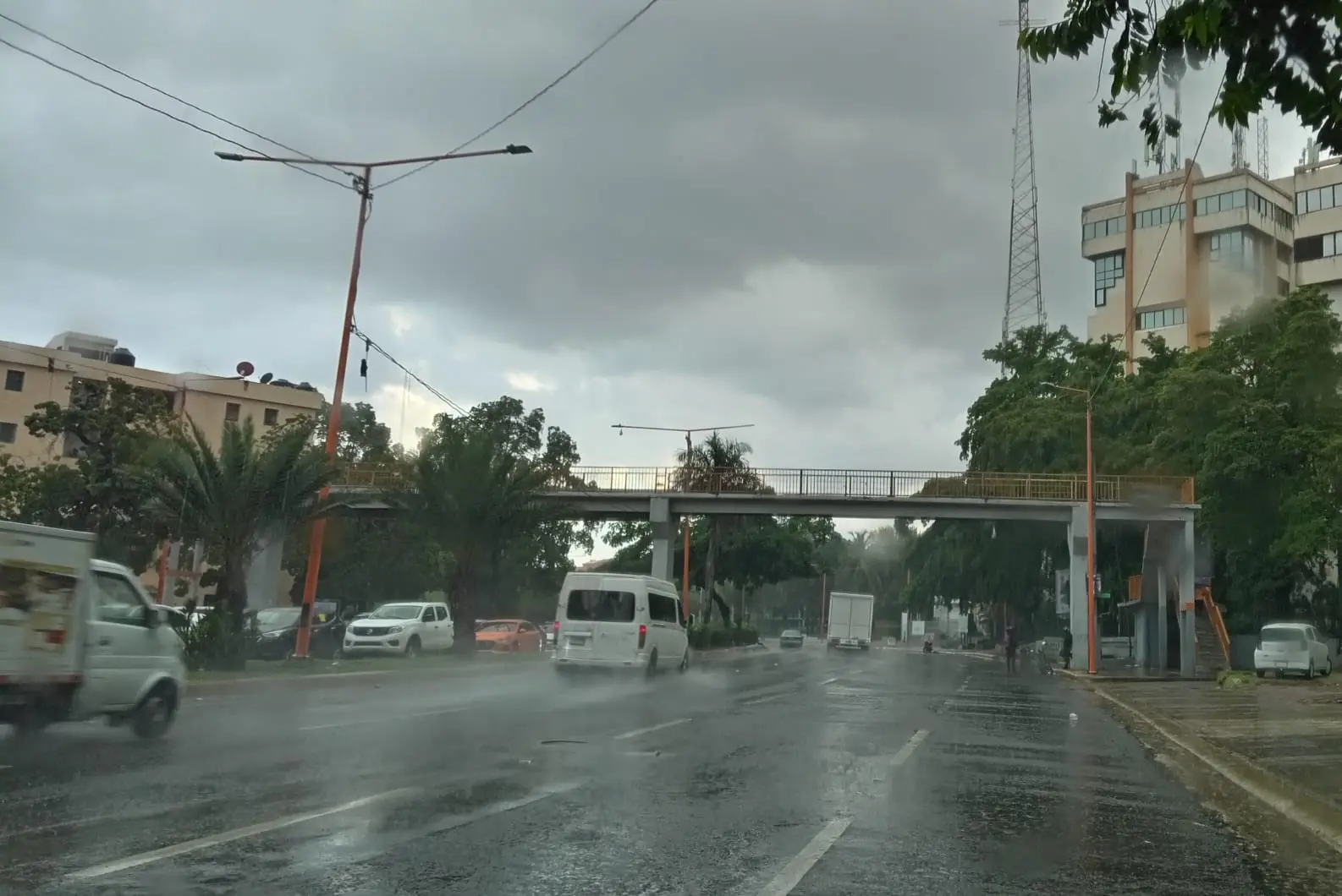
Santo Domingo.-The downpourswith thunderstorms and isolated gusts of wind, will increase in the next 24 to 48 hours due to the proximity of the frontal system, the Dominican Institute of Meteorology reported this Wednesday (Indomet).
From the early hours of this Thursday, cloud fields associated with the frontal system will be causing cloudiness with downpours, being moderate to locally strong, thunderstorms and gusts of wind in the provinces of Monte Cristi, Puerto Plata, Espaillat, María Trinidad Sánchez, Samaná, Hato Mayor, El Seibo and La Altagracia.
In the afternoon and evening hours, rainfall will be more intense and frequent towards the locations mentioned above, as well as in other sectors of the Central Mountain Range, border area and the Caribbean coastal coast, among which are La Romana, San Pedro de Macorís, El Gran Santo Domingo, San Cristóbal, San José de Ocoa, Monseñor Nouel, La Vega, Barahona, Pedernales.
You may also be interested in:
For Friday, it is forecast that a frontal system will produce, from morning hours, cloudy increases with weak to moderate rains towards the towns of Monte Cristi, Puerto Plata, Espaillat, María Trinidad Sánchez and Samaná.
In the afternoon, rainfall will increase and spread over Duarte, Hermanas Mirabal, Sánchez Ramírez, La Vega, Monseñor Nouel, Monte Plata, Greater Santo Domingo, Santiago and Valverde. In addition, the formation of a possible tropical cyclone is expected over the waters of the western Caribbean Sea.
Indomet reported that the potential 19th tropical cyclone of the season was formed, located about 735 km east of Guanaja Island, Honduras, with maximum sustained winds of 45 km/h, moving west at about 9 km/h. , but, this phenomenon due to its position, movement and distance does not offer direct danger to the Dominican Republic.


