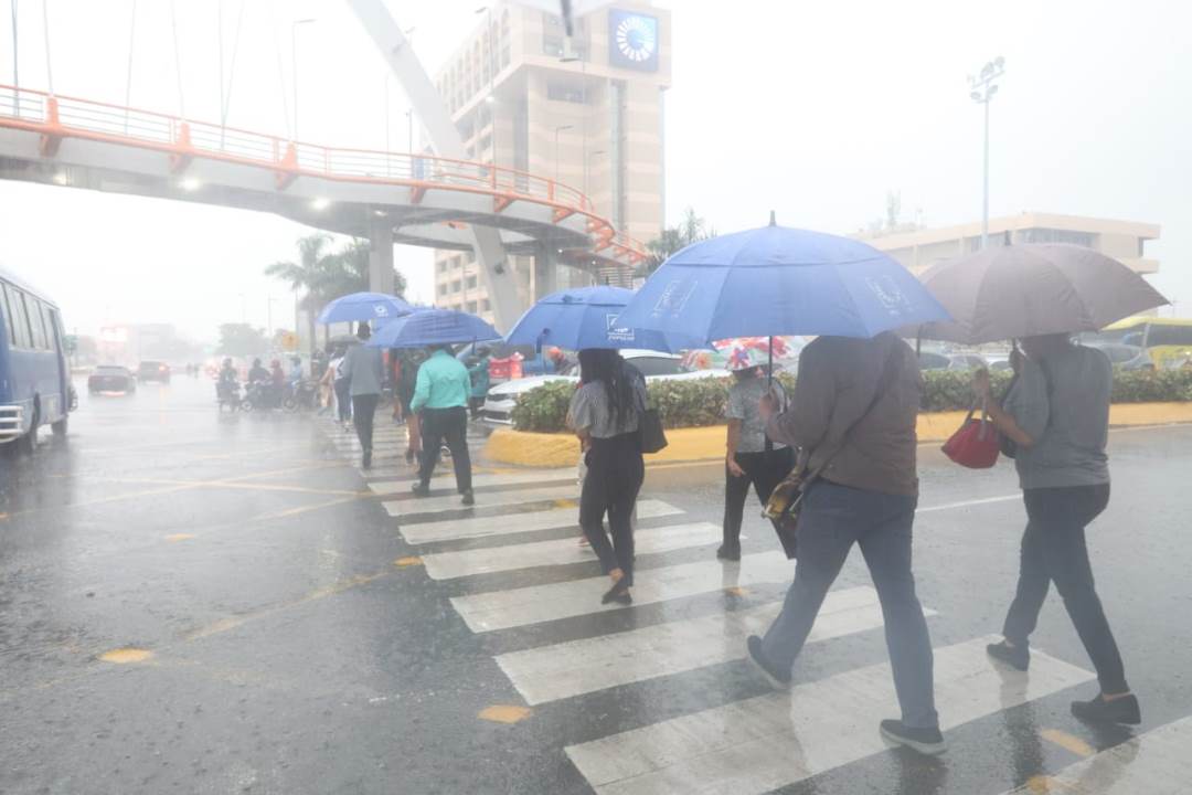
Santo Domingo.- The National Meteorological Office (Onamet) predicted local downpours for this Sunday from the early hours of the morning, due to the effects of the frontal system in the north of the country.
However, in the afternoon, the effects associated with daytime warming will be generating stronger downpours with thunderstorms and occasional gusts of wind in localities in the regions: northwest, north, northeast, Caribbean coastal coast and the Central mountain range, provinces such as: La Altagracia, La Romana, El Seibo, Hato Mayor, San Pedro de Macorís, Barahona, Gran Santo Domingo, Samaná, Monte Plata, María Trinidad Sánchez, Duarte, Sánchez Ramírez, Monseñor Nouel, La Vega, Santiago, Puerto Plata, San José de Ocoa, San Juan, Elías Piña and San Cristóbal, among others.
For tomorrow, Monday, conditions will remain unstable accompanied by moderate to locally strong downpours, electrical storms and gusts of wind over much of the national geography, product of a trough that will emerge from a low pressure area over the Central Caribbean associated with the system. frontal, which will remain almost stationary to the north of the island.
These precipitations will be more concentrated towards: La Altagracia, La Romana, San Pedro de Macorís, Hato Mayor, El Seibo, Monte Plata, Sánchez Ramírez, Samaná, Duarte, María Trinidad Sánchez, Gran Santo Domingo, among others.
Temperatures will be pleasant to cool towards the valleys of the interior of the country and the mountain systems during the night and early morning hours.
National District: scattered clouds to partly cloudy with showers and thunderstorms in the afternoon.
Santo Domingo east: scattered clouds to partly cloudy in the afternoon with showers and thunderstorms.
Santo Domingo Norte: partly cloudy with showers and thunderstorms in the afternoon.
Santo Domingo Oeste: scattered clouds to partly cloudy with showers and thunderstorms in the afternoon.
