Santo Domingo.- The Airport Department (DA) and the National Geographic Institute “José Joaquín Hungary Morell” (IGN-JJHM), signed a collaboration agreement on Tuesday that seeks to verify, design and update the geodetic data (which measures the earth and its dynamics) of all airports , international and domestic and the heliports of the Dominican Republic.
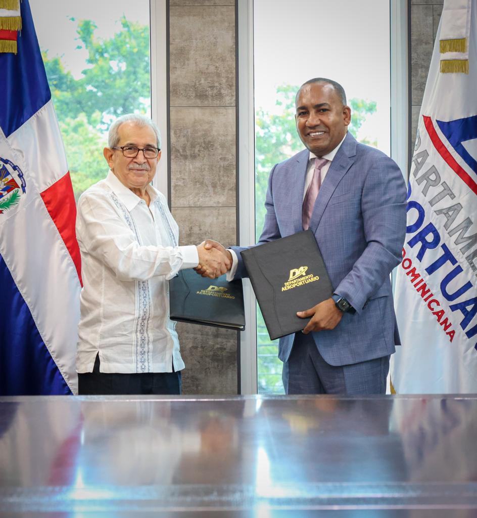
The agreement was signed at the DA headquarters, by the institution’s executive director, Víctor Pichardo, and the general director of the IGN-JJHM, Bolívar Troncoso Morales, who explained that the initiative will serve as the basis for the improvement of the aeronautical charts of the takeoff and landing area that must be contained in the country’s terrestrial networks.
“This agreement that we signed today will constitute a historical precedent for the Airport Department, which for the first time develops a strategic alliance to carry out joint work in all airports and heliports in the country,” Pichardo explained.
In this sense, he stressed that, with the collaboration of the IGN-JJHM team, the advances that have made the air terminals become international reference models will be strengthened, in addition to serving as a platform for the projects that are being executed, such as the “Cabo Rojo” International Airport in Pedernales.
While Troncoso Morales, explained that the study of the movements of the earth and its dynamics, typical of geodesics, is essential for air transport. He added that this joint work will allow the establishment of geodesic plates, which will guarantee safety for the approach and landing of aircraft in all airport facilities.
According to the document, the process will involve verifying, designing and updating the geodesic plates monumented by the NGS (National Geodetic Survey) of the United States in 1997, throughout the airport network, in order to update the technical sheets with geographic coordinates , cartographic and Cartesian that make up the country’s current reference system.
In the agreement, the parties also undertook to coordinate and facilitate joint technical advice and training for the staff of both institutions, in the areas of the airport sector and geographic information management. Likewise, define the protocols for the exchange of data and information between the DA and the IGN-JJHM.
Accompanying Pichardo at the event were Deputy Executive Director Luis Cabrera, Legal Director Jorge Leandro Santana, and Technical Director Christiern Broberg.
While IGN-JJHM was present, in addition to Troncoso Morales, those in charge of Legal and Geodesy, Lucila Almánzar and Sulimar Rodríguez.


