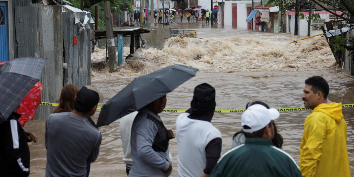
The remanations from Hurricane John The next few hours will cause extraordinary rains (greater than 250 millimeters [mm]) in Colima, Guerrero and Michoacán, so the authorities urge the population of these entities to continue taking extreme precautions.
The National Meteorological Service (SMN) of the National Water Commission (Conagua) also warned Jalisco about torrential rains (150 to 250 mm), while it predicted intense rainfall in Puebla, and very heavy rainfall in Mexico City, State of Mexico , Guanajuato, Hidalgo, Morelos, Querétaro and Tlaxcala.
It was this afternoon when John degraded to low remaining pressure on land over Michoacán.
However, due to a low pressure channel over western and central Mexico, as well as the entry of humidity from the monsoon trough, winds with gusts of 60 to 80 kilometers per hour (km/h), waves of 1 at 3 meters (m) high and the possible formation of waterspouts on the coasts of Colima, Guerrero, Jalisco and Michoacán.
In turn, front number 3, stationary over the Gulf of Mexico and a low pressure channel over the east and southeast of the Mexican Republic, will cause torrential rains in Chiapas, Oaxaca and Tabasco; intense in Veracruz; very strong in Campeche, and strong in Quintana Roo and Yucatán. The mass of cold air associated with the front will maintain the cooling of temperatures over entities of the Northern and Central tables.
The heavy to extraordinary rains predicted for Friday night and Saturday tomorrow, they can generate flooding, landslides, increases in the levels of rivers and streams, as well as overflows and flooding in low areas of the aforementioned states.
