Copernicus, the European Union’s Earth Observation Programme, funded by the Commission and which aims to provide data services through space satellites, announced the creation of a committee in Colombia, in order to encourage growth in the use of data that is free and open.
(Read: Fungicides illegal in the EU that would be used in palm plantations in Colombia)
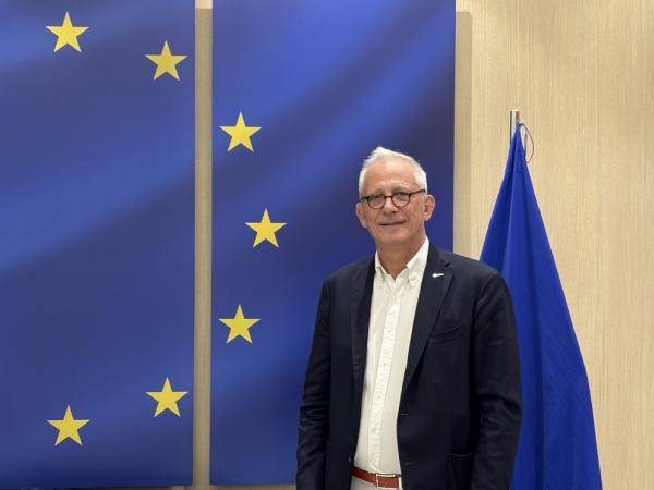
Stéphane Ourevitch, supervisor of the EU Space Support Office for the Directorate-General for Defense and Space Industry of the European Commission (DG DEFIS), highlighted that meteorological offices could understand the status of flooding and forest fire impacts. He explained Colombia’s interest in becoming a regional lighthouse for the entity’s applications.
How does Copernicus work?
It is a program that has a series of components, but perhaps one of the most important is space, which are satellites that the European Union has financed and provide free and open images or data.
For example we can see the issue of floods. For this we have two satellites, Sentinel-1, which is a radar that sees the night, through the clouds and detects water on the ground very well, passing every five days anywhere in the world. With it we can establish the perimeter of the floods, comparing it with the normal position of the river. When there are no clouds, Sentinel-2 is optimal and also allows you to see where there is water and where there is not, because it is multispectral.
(Read more: Eurozone inflation rose three tenths in October and reached 2%)
What other services do you offer?
We have another component on sitewhich are sensors on the ground. These are not ours, but rather those of partners, either from the Member States and outside Europe from countries with which we have cooperation agreements. These allow you to validate information from satellites or other types of data.
The third pillar of Copernicus is services, in which we work with data from our satellites, combined with those in situ and with information from the participating missions, which are satellites from private companies or partner countries that complement our information.
We have an emergency management service, which has an early warning component, which using meteorological and hydrological models and in situ data, gives us up to 14 days of early warning about floods. In Europe we send alerts to member states or emergency management organizations, while outside Europe we do not send any, but it is open data.
(See: Air France-KLM raises prices for 2025 in anticipation of rate hikes in France)
Images from the Copernicus satellites
Courtesy
How does the mapping unit work? Can Colombia be integrated?
This is one of the lines that provides geospatial information and has two modalities: one that we call Risk and Recovery, which is risk analysis. For example, Colombia could ask the European Commission and Copernicus to do a risk analysis on what would happen if Hidroituango breaks, etc.
If Colombia needs this type of information, it has to activate the system through authorized users. The authorities know it very well or know that it exists, because there is also a data center in Panama that covers the entire region and that is doing training and promoting our tools.
(See also: European Union extends its hand to Spain for the floods caused by Dana)
How feasible is it that Colombia could have its own satellite?
There are three types of modalities to have a satellite, some are CubeSats, where there are international programs from NASA or others, which help students or companies to build a satellite and put it into orbit, but they are only scientific experiences.
Then there are countries that have the capacity to build large satellites, but there are few of these and there are also States that do so in cooperation with others. When they have the budget like Peru and Chile that have their own satellites, they have probably paid a company to build, launch and operate them.
What other things can Copernicus do in Colombia?
A few days ago, the National Copernicus Committee of Colombia was launched, which helps monitor deforestation, protected areas, whether marine or terrestrial, through satellites that can measure the composition of the atmosphere, control the level of aerosol pollution from fires or by volcanic eruptions, etc.
This is a service that provides information for renewable energy production, files of how much sun there is in one area or another. It also gives forecasts of how much there will be in the future.
We have the Copernicus marine surveillance service and several of its satellites work to measure the evolution of sea level, the quality of coastal waters, lagoons, currents, and temperature, which is an element in the development of hurricanes.
(Read more: Unemployment rate in developed countries remained stable in the second quarter)

Copernicus satellites
Courtesy
Do they monitor climate change?
Yes. In the newspapers it is announced that 2024 will be the warmest year of the record we have, which is already quite old and that we are more than 1.5 degrees above the average, this is provided by the Copernicus climate change service. We have drought monitoring and early warning for forest fires.
(See: The European Union extends the regulation on Deforestation-Free Products (EUDR))
How does the Committee see the country?
I was impressed to see not only the motivation of Colombian public entities and academia to create and operate this committee, but also that it already exists. Institutions such as Ideam or universities have produced courses, experimental systems and in the case of the Colombian meteorological office, they are already using Copernicus data for various applications. Colombia has the capacity and the will to become a center of excellence and a regional beacon for Copernicus applications.
Does this imply high investments?
The data is available in the cloud, so you don’t need a server, a rack or to buy a lot of hardware. There is an investment on the part of the universities but also an important one from the European Union with technical assistance and training programs, such as those organized by the Copernicus Center in Panama and where there are Colombian participants. Investment is above all human, from people who know.
(Read also: EU AI Pact: why Google and Open AI signed it, and Meta and Apple avoided it)

Images from the Copernicus satellites
Courtesy
How long do satellites last in orbit?
Our satellites have a life of 7 years. But for example, Sentinel-1, which is the first one we launched, has been around for 10 years and continues to work perfectly well. There are some Americans who are 22 years old and still functioning.
The beauty of Copernicus is that it is an operating system, because there is a budget. If Sentinel-2 fails tomorrow, we have a satellite ready, what we need is a free rocket to launch it.
(See more: The OECD hopes for an agreement on the taxation of the giants of the digital sector)
What do you see for 2025?
Next year in Colombia we will have in-person training from the Copernicus Center in Panama. Second, we will be very present at the Amerigeo summit and we will also have satellite launches to replace those that are in orbit, always with new products, with better resolution and quality. That is, better technologies.
