")
Natural funnels are columns of rotation air that extend from the base of a cloud, but do not come into contact with the earth’s or aquatic surface.
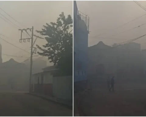
Miami, United States. – A cloud funnel is being sighted currently on the Malecon of Havana, as confirmed residents who managed to capture images and videos of the phenomenon. Although the formation has not touched land or water, its presence is generating alarm among those who travel through the area of the capital’s coast.
The images, taken from different parts of the city, clearly show a funnel descending from a cloud of great vertical development – positively a cumulonimbus cloud – in the direction of the sea, without consolidating itself as a marine or tornado thrombus.
So far, the Institute of Meteorology of Cuba (INSMET) has not issued any special alert or notice regarding the phenomenon, although in Its official forecast published at 11:00 am He warned that in areas of showers, rains and thunderstorms could be “increasing locally the force of the wind and the height of the waves.”
")
")
The time forecast center had indicated that during the afternoon and night of this Thursday “some showers, rains and thunderstorms in much of the national territory” were expected, as well as a regime of “weak variable winds with marine breez regime in the afternoon” and “calm sea in the rest of the country”.
Cloudy funnels, also known as Funnel CloudsThey are columns of air in rotation that extend from the base of a cloud, but do not come into contact with the earth’s or aquatic surface. Only when they do are classified as tornadoes or marine sleeves.
Today’s event recalls the tornado that hit Havana on January 27, 2019, and although in this case it is not the same type of weather event, the memory remains alive in the memory of many Havana.
")
")
(Development news)