The president of Colombia, Gustavo Petropublished in X a false map of what was once Gran Colombia, a State created by Simón Bolívar that existed between 1819 and 1831.
The erroneous representation not only includes the territory of Colombia, Venezuela, Ecuador and Panama, which in effect formed part of the country, but also takes as its own parts of the current land of Peru and Brazil, and even of Guyana Esequiba, in dispute between Guyana and Venezuela.
“This is Gran Colombia, it was Bolívar’s idea and I propose, by constituent vote of the population, that we rebuild it as a confederation of autonomous nations,” Petro said in X.
The map includes the entire territory of the Tumbes region, which was claimed by Gran Colombia in 1821, but the discussion ended after the war of 1828-1829 and the subsequent treaties that gave Peru its possession. Almost the entire current department of Loreto is also absorbed. Previously, only a part of northern Maynas was under Great Columbian jurisdiction for a short period.
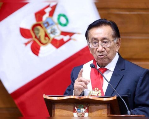
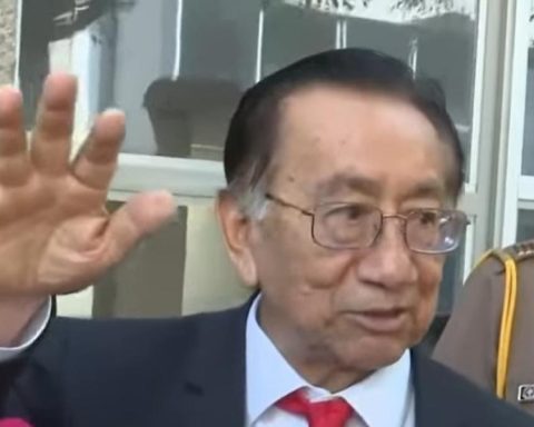
In this regard, ambassador Carlos Pareja told Peru21 that “President Petro is already on his way out,” in reference to the presidential elections of May 31, 2026.
Furthermore, he added that “given his disappointing and erratic track record in government, he is not in the moral capacity to propose constitutional reforms.”
“The only thing that can save him in the face of history is for his government to give way to a transparent and exemplary electoral process,” he concluded.
PLEASE NOTE
Repetitive. Petro’s intention to appropriate Peruvian territory is not new. In August 2025 he said that Colombia does not recognize Peru’s sovereignty over the island of Santa Rosa (Loreto). That time, Peru categorically rejected those statements.