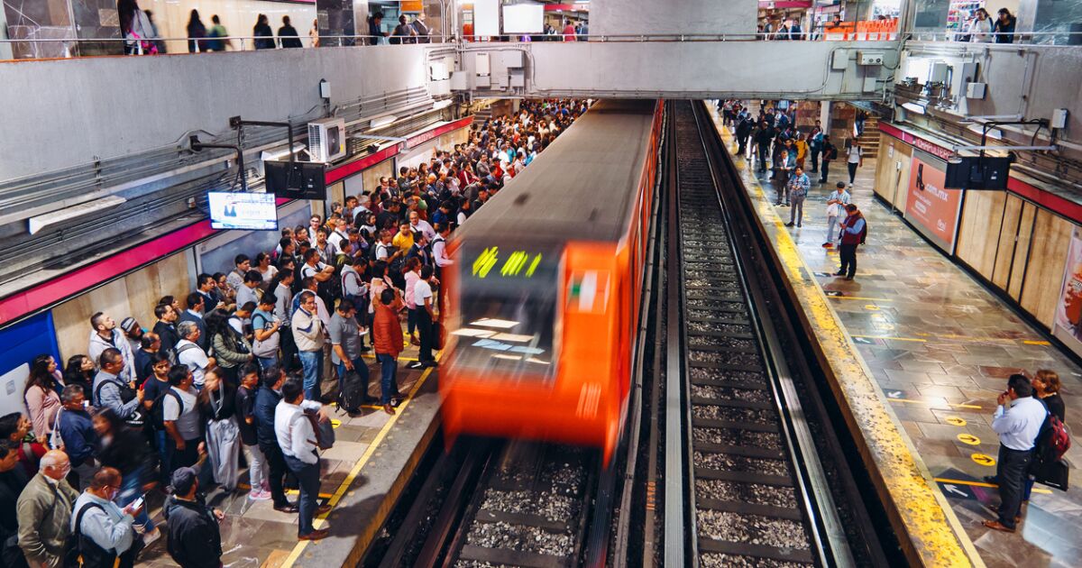
With the renovations, users will now have to adapt to two lines with cuts, Line 1 and Line 12, where the rehabilitation work has not been completed after the accident that occurred last year that left 26 dead and a hundred injured. .
CDMX Metro Map
Below we present the complete network of the system considered the third metro system by volume of passengers worldwide and the fifth by kilometers of network.
line 1
Run from Pantitlan to Observatory.
The Pink Line was the first to be built and has 20 stations, 7 of which are correspondence. It has a length of almost 19 kilometers. It runs through the center of Mexico City from east to west.
line 2
Run Four Ways-Tasqueña.
The Blue Line runs through the center of Mexico City from south to north. It was inaugurated in August 1970. It is 23 kilometers long and is made up of 24 stations, 5 of which are correspondence stations.
Line 3
Run from Indios Verdes to University.
Olive green line. It circulates from north to south through the center of Mexico City. It has a length of 23 kilometers, and has 21 stations, 6 of correspondence.
line 4
Run from Santa Anita to Martin Carrera.
The cyan line is the shortest line with a length of 10 kilometers, it has 10 stations and six of them are correspondence.
line 5
Run from Polytechnic to Pantitlán.
Yellow line. It has 15 kilometers, it has 13 stations, 5 of correspondence.
line 6
Run from El Rosario-Martin Carrera.
Red color line. It is 13 kilometers long and has 14 stations, three of which are correspondence stations.
(Photo: STC Metro)
