The Nicaraguan Institute for Territorial Studies (Ineter) and the Observatory of Natural Phenomena (Ofena) predict that for this weekend, June 18 and 19, there will be more rains in the Nicaraguan territory, due to the entry of tropical waves number eight and nine.
Marcio Baca, director of Meteorology at Ineter, explained that this Friday morning, June 17, “tropical wave number eight must have entered the national territory, with light rains, occasionally moderate in the Caribbean regions and in the North and Center of the country, but those rains will already be obeying the presence of that tropical wave.
For his part, Agustín Moreira, director of Ofena, indicated that for this Saturday the 18th, “the chances of rains range from light to moderate in the Caribbean zone towards the center and in the central zone, looking for the mining triangle towards the zone of the Pacific, chances are there will be rains with thunderstorms in the evening hours and at night.
Related news: Heavy rains have left some 25 houses flooded in eight neighborhoods of Managua
Likewise, he explained that the expected temperatures for the next few days are between 23 and 30 degrees for the western part of the country, while in the central zone a temperature between 27 and 20 degrees will be reached.
Tropical wave number 9 will cause more rains in the country
The director of Meteorology of Ineter reported that tropical wave number nine will probably enter the country on Sunday, for which he urged the Nicaraguan population to take the corresponding precautions against the damage that rainfall may cause, such as flooding, landslides and floods.
In addition, both meteorological organizations agreed that the Pacific area of Nicaragua will remain influenced by the wind from the southwest.
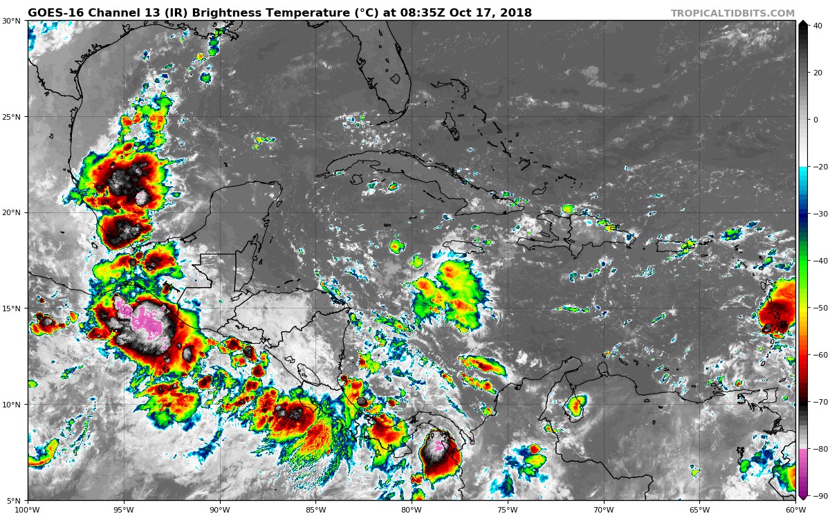
“This wind is being caused by the presence of a disturbance, which is currently in the south of Guatemala and is in a process of development and very surely by the end of today (Thursday) it should already be a depression. A tropical storm or a tropical storm, which is moving very slowly, is going to approach the coasts of southern Mexico or the Guatemalan coasts and later it will move, always moving away from the Central American coast, towards the interior of the Pacific Ocean,” he explained. Roof.


