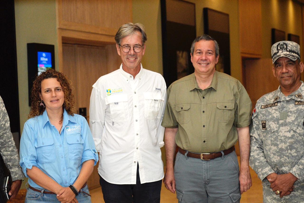
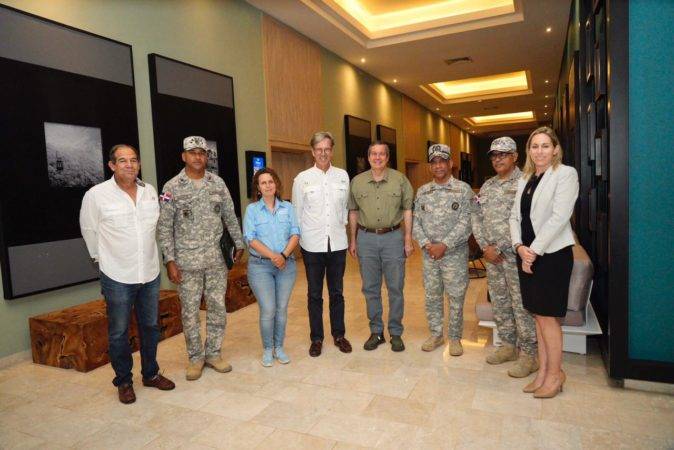
Bayahibe. The Minister of Environment and Natural Resources, Orlando Jorge Meratogether with the German ambassador, Dr. Volker Pellet, Rear Admiral Ventura García, Inspector General of the Dominican Navy, Rita Sellares of the Dominican Foundation for Marine Studies (Fundemar) and Ana Garcia Sotoca of the Tourist Cluster of La Romana, held a meeting to improve navigation safety in the area and the preservation of natural resources.
The objective of the visit was to identify possible problems that may affect the proper development of maritime activities, in order to implement actions that help regulate, organize and improve the navigation system of these vessels.
“We have had a meeting where we have been given a proposal to improve the maritime tourist operation of the La Romana destination, which involves a series of aspects related to the traffic of tourist boats to Saona and Catalina, from Bayahíbe¨.
Read more: Dominican-French Chamber of Commerce will have breakfast with Environment
¨As well as a series of situations, such as buoys to prevent accidents, we have committed to channeling the delivery of an ambulance to Bayahibe, and marine rescue teams, in terms of health; We will be working on this proposal, as well as defining the route that we will have for it,” said Orlando Jorge Mera.
Among the initiatives are the up-to-date documentation, permits and security of each vessel; as well as the office carried out by the Navy, the tourism licenses, so that it is something inter-institutional, with representation from the Ministry of Environment and Natural Resources, the Ministry of Tourism, the Dominican Navy, the Clúster de la Romana and Fundemar.
The draft It stipulates the definitive solutions on the problems that the area has in terms of navigation, the safety of visitors and the protection of coastal and marine areas.
The idea is to present a strategic plan to improve the operation of excursions that provide security, both for visitors and for the environment.
After the meeting, a tour began in Bayahíbe, where the Ministry of Environment and Natural Resources and the Navy of the Dominican Republic were able to observe the different boat exit points, as well as part of the navigation channel and the points of dives that are used to practice this sport.
The tour also included the inspection of the diving area of the Catalina Island and the navigation system used by the boats that transit from Bayahibe to Catalina Island, and that travel through the Arrecifes del Sureste Marine Sanctuary.
During the tour, the minister was accompanied by José Ramón Reyes, Deputy Minister of Coastal Resources and other authorities from the Ministry of Environment.
Ministry actions against offenders
On the other hand, the minister Jorge Mera reported that citizen Ysaias Valdez Ogando Ogando was brought to justice for falsification, alteration and reuse of entrance bracelets to the national parks in Bayahíbe.
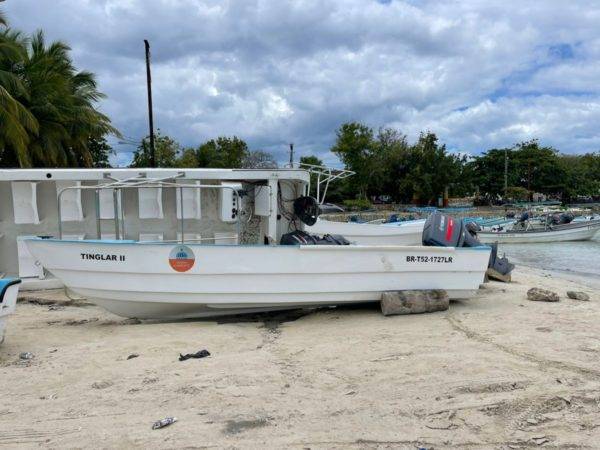
Likewise, it was reported that the institution filed a second complaint against Estalin José Molan Bera, responsible for the death of the shark pregnant female that occurred in April in Bayahibe, waiting for the justice to act accordingly.
About the Catalina Island Natural Monument
The Catalina Island Natural Monument Located in the province of La Romana, this protected area is an island that is about 6 kilometers long in a northwest-southeast direction, covering an area of 22 kilometers.
In addition to the island, this monument includes a 500-meter wide marine strip around the entire coast.
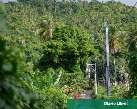
Catalina Island has a coastal area in which rocks alternate with beautiful virgin beaches that have large and extensive dunes. The island’s beaches are a nesting place for various species and sea turtles.
Also, the interior of the island is covered by tropical vegetation with dry characteristics, forming an interesting forest inside which there is also a rock outcrop that crosses the island from one side to the other, the only relief on the island whose topography is generally flat.
In the coastal area, the coral reefs stand out, which in the eastern part of the coast descend forming a cliff up to 60 meters deep.
