Santo Domingo.- An active tropical wave associated with a low pressure center east of Puerto Rico keeps much of the country on meteorological alert, with a high probability (80%) that the atmospheric phenomenon will become a cyclone in the coming days, reported the National Meteorological Office (Onamet).
The Emergency Operations Center (COE) and the Dominican Institute of Meteorology (Indomet)
reported last night that the tropical wave could transform into tropical storm “Melisa” in the
next few hours, and generate accumulated rainfall that could exceed 300 millimeters in various areas of the country.
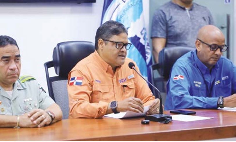
The director of Onamet, Gloria Ceballos, explained that numerical prediction models indicate
that the phenomenon could intensify as it approaches the national territory in the next few hours, with
rains that could cause urban and rural flooding, as well as landslides in areas
vulnerable.
He also pointed out that North American trajectory models indicate that the phenomenon could make a turn towards Dominican territory.
However, European models predict that the turn would occur after crossing the island and passing between Cuba and Jamaica.
The system continues its movement towards the west, moving slowly, and rains are expected to affect the country throughout the week.
The Emergency Operations Center (COE) issued an alert for 14 provinces due to possible flooding. Due to the accumulated and forecast rains, the agency maintains the provinces of La Altagracia, Hato Mayor, El Seibo, Samaná, María Trinidad Sánchez, Monte Plata, Sánchez Ramírez, Monseñor Nouel, La Vega, Santo Domingo, Distrito Nacional, San Pedro de Macorís, San Cristóbal and San José de Ocoa on meteorological alert. Meteorology warned that, outside the path of the center of the phenomenon, rain will be recorded until Friday, which requires maintaining the alert in the highest risk sectors of the country.
In its report, the agency recorded moderate to heavy downpours, accompanied by thunderstorms and gusts of wind, especially in towns in the northeast, southeast and the Central mountain range.
Onamet warned that maritime conditions on the Atlantic coast will become dangerous. On the Caribbean coast, the waves will begin to deteriorate this Tuesday afternoon, so it was recommended that boats remain in port and not venture out to sea.
The rains will be concentrated mainly in Greater Santo Domingo, San Cristóbal, San Pedro
from Macorís, La Romana, Hato Mayor, Monte Plata, Samaná, María Trinidad Sánchez, Duarte, La Vega
and Santiago. Zero water, thunderstorms and gusts are expected in the National District and Greater Santo Domingo
occasional winds.
Gloria Ceballos
-Reaction
The general director of the Dominican Institute of Meteorology (Indomet), Gloria Ceballos, said that the institution she directs is dedicated to properly informing and not seeking likes or passing off climate influencers on social networks.
