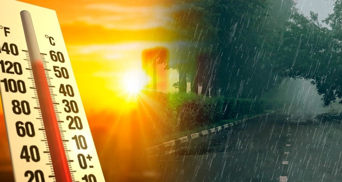
SANTO DOMINGO.- High temperatures will follow in the Dominican Republic while Una trough at different levels of troposphere, Combined with the local effects of daytime and orographic warming, it will cause this Saturday afternoon cloudy increases accompanied by downpours, from moderate to strongthunderstorms and wind bursts.
The Dominican Institute of Meteorology (INDOMET) explained this Friday that rainfall will be concentrated especially in the provinces of the Northeast, North, Southwest regions, as well as in the border area and the Central Cordillera.
He also reported that a Tropical wave located on the western coast of Africa. During the weekend and early next week, environmental conditions could favor a gradual development of this system.
You may also be interested:
In the next 48 hours it presents a very low probability of becoming a tropical cyclone; However, in the next seven days, that possibility increases to 40 %.
“Due to its geographical position, we follow it strictly and recommend being attentive to our next bulletins,” said Indomet.
High temperatures They continue
The agency also indicated that temperatures will continue very high, due to the time of the year (summer) and the warm and humid wind of the east/southeast.
He recommended that the population stay hydrated with abundant fluids, preferably water, wear light colored light clothesstay in fresh and ventilated places and avoid sun exposure between 11:00 in the morning and 4:00 in the afternoon.
He recalled that old children and people are more vulnerable to the effects of high temperatures.
