Hurricane Erin slowly moved away from the North Carolina coast the morning of Thursday after his near pass during the night, but the threats have not finished.
The great reach winds of this hurricane, category two, continue to whip the Atlantic and send large waves to the coast that raise the water level, as described by a report from CNN.
Hurricane #Erin 5am 8/21 Key Messages: Tropical Storm conditions are Occurring Along The NC Outer Banks & Should Spred To The Coast of Southern #Virginia This Morning. Hazardous Beach Conditions & Life-Threatening Rip Currents Will Continue At Us East Coast Beaches For The … pic.twitter.com/3zjbqqoetl
– National Hurricane Center (@NHC_Atlantic) August 21, 2025
The waves reached almost 6 meters high this morning, not far from the coast of Cabo Hatteras, in the Outer Banks, while wind bursts between 64 and 80 km/h whipped much of the region. The specialists stressed that it is a “unusually large” hurricane.
A monitoring station near Cabo Hatteras recorded the increase in water level and small floods during the high tide this Thursday morning. The level there reached 71 meters and continued to rise, almost triple the height during the high tide of Wednesday morning, according to the American media.
The state of the east coast of the United States, still impacted by the passage of the mortal Hurricane Helen in 2024, had declared an emergency on Tuesday, according to different media.
A season above level
Erin continues his career to the north-northeast and was just over 320 km to the east of Cabo Hatteras, North Carolina, early on Thursday.
In spite of a relatively quiet beginning with only four storms appointed so far, the American Oceanic and Atmospheric Administration Office (NOAA (NOAA) continues to monitor the current hurricane season, whose prognosis is to behave “above normal”.
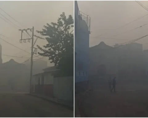
Hurricane Erin threatens the southeast coast of the US with dangerous wind gusts and rainfall
Scientists consider that climate change is overloading tropical cyclones: warmer oceans lead to stronger winds, a hottest atmosphere intensifies rains, and higher levels of the sea increase the emergence of storms.
In addition, and, although with less certainty, there is evidence that climate change produces hurricanes more frequently.