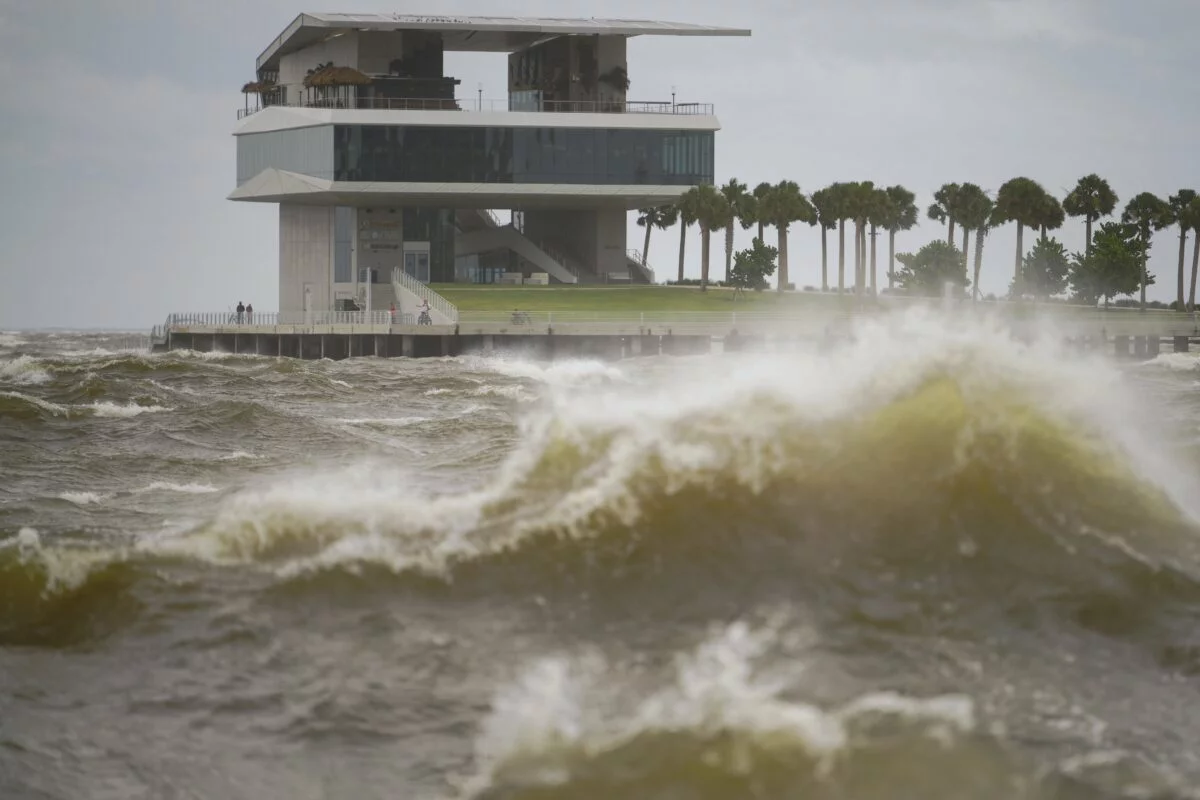
He Emergency Operations Center (COE) on Sunday reported that the indirect effects of the hurricane Erin, Category 3 On the Saffir-Simpson scale, they are generating waves up to 12 feet high on the Atlantic coast, especially in front of provinces such as Samaná, María Trinidad Sánchez, Espaillat, Puerto Plata and Montecristi, accompanied by moderate to strong downpours, thunderstorms and winding gusts.
According to the Bulletin of the Dominican Institute of Meteorology (Indomet), Erin records maximum sustained winds of 205 km/h, and the first hours of the day was located 445 kilometers northwest of San Juan, Puerto Rico, already 274 kilometers northeast of Cabo Cabrón, in Samaná. The phenomenon maintains a west/northwest displacement at a speed of 20 km/h, with a tendency to intensify.
Under the conditions, the COE maintains yellow alert throughout the coastal strip from Altagracia to Montecristi, due to the strong waves, sea in the background, breaking wave and hangover currents. In addition, yellow and green alert levels persist in 10 provinces, including Santo Domingo and the National District, for possible floods of rivers, streams and ravines, as well as urban floods.
We recommend reading: https://els
The authorities warned that all vessels must remain in Puerto on the Atlantic coast, while on the Caribbean coast they can only navigate with caution. The use of beaches and aquatic sports from Altagracia to Montecristi was also prohibited, and the population was urged not to approach the shore to observe the waves.
The COE recommended that parents watch their children to avoid bathe in rivers, streams and ravines with high flow, and called the drivers to extreme precautions due to visibility reduction. He also urged families to reside in vulnerable areas to remain attentive to official bulletins and the orientations of relief agencies.


