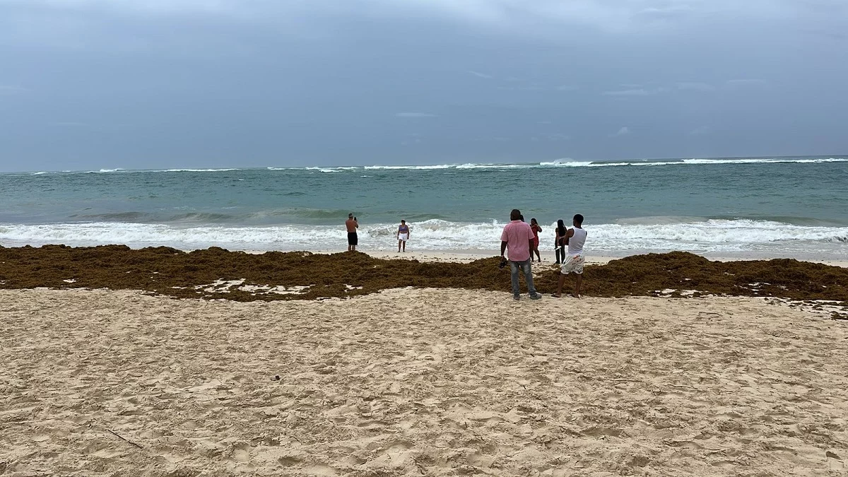
Santo Domingo.- While the Hurricane Erin category 3moves about 280 kilometers away from Punta Cana, in Altagracia and will continue moving towards the northwest, the director of the Emergency Operations Center (COE) He called the population not to approach the coasts to observe the waves.
As explained Juan Manuel Méndez, approach to see the waves that has been elevated by the indirect effects of the atmospheric phenomenon, It can be dangeroussince the sea usually expel rocks and debris, which puts people at risk.
“It is prohibited that the population approaches the coast to observe the strong swell Due to the danger that this action implies, ”said Méndez.
For Hurricane Erin, the COE has The use of beaches and aquatic activities prohibited throughout the Atlantic coast, from La Altagracia to Montecristidue to the presence of Breaking waves, background sea and hangover currents.
The predictor of Dominican Institute of Meteorology (Indomet), Wagner Rivera, He informed that from today the rainfall of Hurricane Erin began to feel, in the form of downpours that have been locally moderate to strong, with thunderstorms and winding bursts in the 8 provinces on yellow alert.
As for the waves, he said that they have been felt strong in the Coastal Strip of the Atlantic, which is where the alerts have been established, while the waves today will be between about 12 and 14 feet in some areas inside.
“We are still maintaining those adverse conditions in the waves that may have sea in the background, also hangover currents will be influenced and marine penetrations in some low coastal areas,” Rivera said.
Erin has Maximum sustained winds of 205 kilometers per hourwith one speed of translation of 20 kilometers per hour, which continues to progress towards the west-northwest.
Hurricane rains Erin will feel southwest and southeast of the country in the afternoon
Rivera said that they are waiting for rainfall values that are around 60 to 80 millimeters in a range of the next 48 hours and, in a timely manner, in isolation they could overcome these values.
“The conditions that are being felt are indirect effects associated with the system, that is, it is clear that, and that in the afternoon the rainfall will reach the provinces of the southwest and Southeast of the Dominican Republic, that is, to sectors of Santo Domingoof San Cristóbalfrom La Romana, San Pedro de Macorís, ”he said.
This is because the exterior cloud bands of the system, once they are going gradually, after a few hours arriving, that is, they will not be rains that will be continuous at one point, but will have an approximate period of about two to three hours.
8 provinces remain on yellow alert and 2 in green
Méndez explained that a yellow alert level is maintained for the entire coastal strip from Altagracia to Montecristo due to the strong wave of the background, breakup waves and coat of hangover that will generate hurricane Erin.
It also maintains the alert and yellow level for the following provinces La Altagracia, Hato Mayor, María Trinidad Sánchez, Montecristo, El Seibo, Samaná, Espaillat, Puerto Plata. In Verde continues National District and the province of Santo Domingo.
He said that since the provinces were announced on alert, the shelters were activated in those locations, in addition to urging caution in places that, by tradition, occurs in the water.
Rivera pointed out that tomorrow also the system that will be moving away a little, located in the Bahamas, will leave some cloud fields in some provinces, generating rains, but of less intensity than those that can occur this Sunday.


