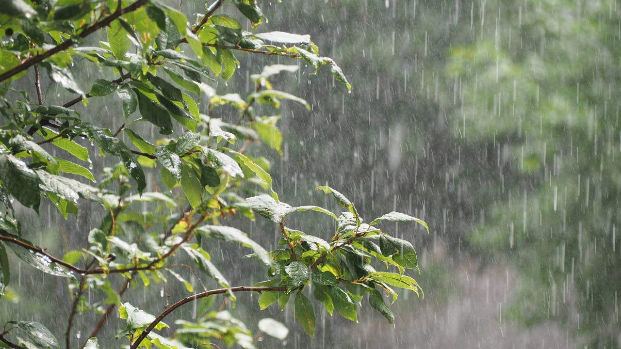
The Dominican Institute of Meteorology, (Indomet), reported this Tuesday morning that since the early hours of this Tuesday, there have been rain of variable intensity and distant thunderstorms towards Pedernales, Barahona, Peravia, San Cristóbal, sectors of Greater Santo Domingo, San José de Ocoa, Monseñor Nouel, La Vega, Samaná and María Trinidad Sánchez, favored by abundant humidity and a trough.
The same will continue during the next few hours and, during the afternoon, they will be in the form of moderate to locally strong downpours with thunderstorms and gusts of wind towards the aforementioned provinces, adding San Juan, Elías Piña, Independencia, Bahoruco, Santiago, Santiago Rodríguez, Dajabón, among other surrounding areas. During the night, rain is expected on the Caribbean coast.
While tomorrow, Wednesday, more humidity will be transported to our territory and the trough will be located over the Wind Channel.
You can read: Persistent rains and cool temperatures
These factors will cause increases cloudy with moderate to locally heavy showers, thunderstorms and gusts of wind from morning hours, but especially during the afternoon, starting in the provinces of the Caribbean coast and then distributing to the rest of the country; although especially about Pedernales, Barahona, Azua,
San Cristóbal, sectors of Greater Santo Domingo, La Vega, Santiago, Monseñor Nouel, Sánchez Ramírez, Valverde, Puerto Plata, Monte Plata, María Trinidad Sánchez, among others.

Due to the expected rains, the INDOMET maintains the levels of ALERTS and WARNINGS meteorological conditions in the event of possible flooding of rivers, streams and ravines, as well as sudden floods and possible landslides towards the following provinces (see table):
| WEATHER ALERT LEVELS | ||||
| ALERT | TOVISO | DISCONTINUED | ||
| Duarte | Puerto Plata | Maria Trinidad Sanchez | ||
| Greater Herd | Espaillat | |||
| Mirabal Sisters | ||||
| TOTAL: 02 | TOTAL: 04 | TOTAL: 0 | ||
