The dictator Daniel Ortega presented to the communist Chinese a new route for the construction of his delirious interoceanic Canal, which would always begin in the Caribbean port of Bluefields, passing through Zelaya Central, Chontales and would cross Lake Managua or Xolotlán and then route through the route to the West to end in the Port of Corinto, in the Pacific Ocean.
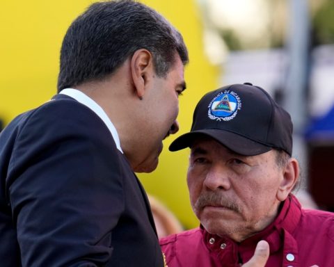
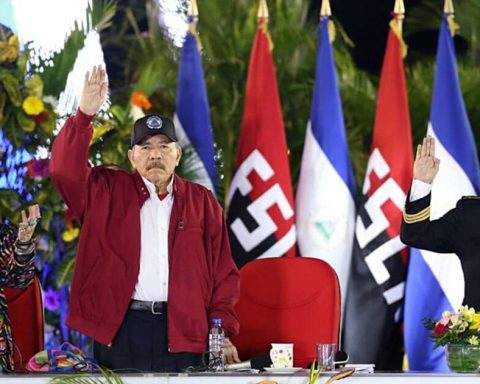
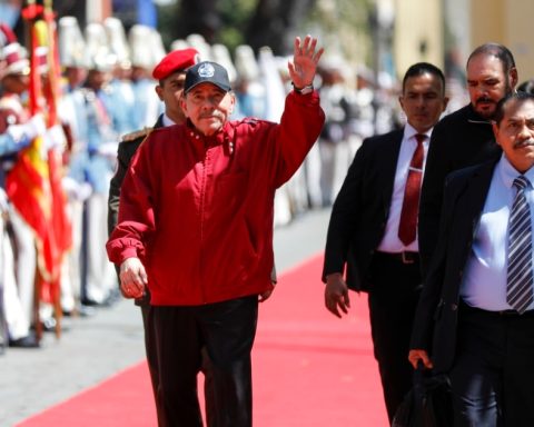
The Nicaraguan tyrant participated on the night of this Monday, November 18, in the inauguration of what they called “XVII China – Latin America and the Caribbean Business Summit” which was held at the Oloff Palme Convention Center, in Managua, where he dedicated himself to praised his fellow Chinese dictator Xi Jinping and thanked him for allowing him to hold the business summit in Nicaragua.
New canal route
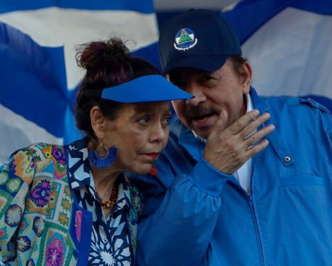
Surrounded by his wife, the vice dictator Rosario Murillo and his son, whom he has as presidential advisor for investments, Laureano “El Chigüín” Ortega Murillo, and with the presence of the representative of the Chinese regime, Yang Zhen, vice president of the Political Consultative Conference of the Chinese People; and Chen Xi, Chinese ambassador to Nicaragua, Ortega, without expressly saying so, once again offered the Asian communists the construction of the Interoceanic Canal through Nicaraguan territory.
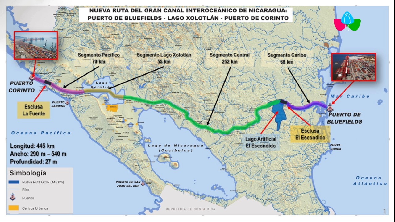
The Nicaraguan tyrant, obsessed with the work that had already failed once after the “embarkation” given by the Chinese Wang Jing, who turned out to be a bankrupt trickster, this time presented a 425-kilometer route that would pass through the department of Managua and Lake Xolotlán.
Related news: The Inter-American Court condemns the Ortega-Murillo dictatorship for the Interoceanic Canal case
The new canal line presented by Ortega always begins in the Port of Bluefields and ends in the Port of Corinto, but divided into three segments. The first segment is called “Caribbean Segment”, it begins in the port of Blufileño itself; It extends for 68 kilometers and reaches an “artificial lake, El Escondido”, where, according to the tyrant’s project, “the El Escondido lock” would be built.
Then they drew the “central segment” of 252 kilometers, which crosses the tropical humid forests of El Rama, Nueva Guinea and goes out to the Chontales mountains, passes through the department of Boaco, in lands near Lake Nicaragua or Cocibolca and reaches the department of Managua, right in the municipality of San Francisco Libre.
The third section is the so-called “Xolotlán segment”, 55 km, which begins in San Francisco Libre, entering the waters of Lake Managua and leaves through the municipality of La Paz Centro, which is where the last section called “segment” begins. Pacific”, 70 kilometers long, which then extends to the Port of Corinto, where a lock called “La Fuente” would be built, and there the Ortega canal would end.
Ortega wants to compete with Panama
“In order for the ships to pass, the ships to come and go, the Panama Canal no longer has (the capacity) as it did at the beginning and so the traffic is slow and many vessels have to wait for days or weeks with the products, with merchandise and that also makes trade more expensive to be able to pass through the Panama Canal,” justified the Sandinista dictator.
That is why Ortega offers the Chinese the construction of the questioned canal through Nicaragua. “We have the alternative here in Nicaragua, and I show it to you there, look there it has been shown,” said the red-and-black leader, pointing to a map that does not even have many details of what he intends to be seen as his mega project.
Related news: Nicaragua’s interoceanic canal “collapses” after a breakup between Ortega and a Chinese businessman
He assured that this new proposal is the result of “studies that have been carried out for a long time”, although he did not detail whether there are already feasibility, environmental and social impact studies, as well as the cost and deadline of the work.
He justified that the previously projected route, through Lake Nicaragua to the isthmus of Rivas, is shorter but that “there is always the risk of an accident in a freshwater lake.” He did not mean that the truth is the fierce opposition of the anti-canal farmers and the environmentalists defending the lake.
«So, the route that had been made first passed through the lake (Cocibolca), it was shorter, so no, better even if the (new) route is a little longer, the project is that it starts in the port of Bluefields, which It is a Caribbean port, which is being built, it will begin to be built and then it will break through until it exits through Puerto Corinto,” described the tyrant, without giving details.
According to the map presented by Ortega, the new canal route would be 445 kilometers long, between 290 and 540 meters wide and an average depth of 27 meters.
